Kouvola night lights from space
Night Light of Kouvola (Kymenlaakso) from space (Finland) Src. Average luminocity for 10x10km area is 73.7211% and for 50x50km: 11.7852%.
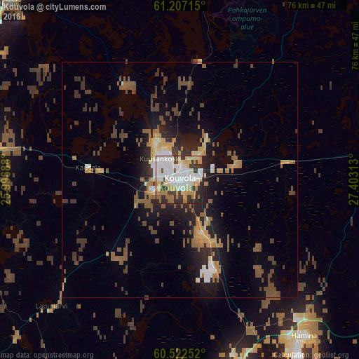
Analysis of Kouvola night lights 2016
Square area 10x10 km:
 20.87%
90-99
24.9%80-89
9.3%70-79
9.19%60-69
6.92%50-59
2.07%40-49
4.24%30-39
10.64%20-29
11.47%10-19
0.41%0-9
0%Square area 50x50 km:
1.31%90-99
1.7%80-89
1.15%70-79
1.52%60-69
1.76%50-59
2.01%40-49
2.45%30-39
2.19%20-29
3.16%10-19
6.08%0-9
76.67%Clear (daylight) street map image can be seen on geolist.org.
Map coordinates:
61° 12' 25.7" North, 25° 59' 48.8" East
60° 52' 0" North, 26° 42' 0" East
60° 31' 21.1" North, 27° 24' 11.3" East
Some cities around Kouvola sort by population:
• Kotka
46.5 km =28.9 mi,  163°
163°
• Karhula
40.4 km =25.1 mi, 161°
• Hamina
42.7 km =26.5 mi,  140°
140°
• Anjala
21.6 km =13.4 mi, 160°
• Nastola
42.5 km =26.4 mi,  282°
282°
• Elimäki
20.9 km =13 mi,  217°
217°
• Iitti
19.8 km =12.3 mi, 279°
• Luumäki
48.1 km =29.9 mi,  82°
82°
650859 (p: 31,133)
Sources (retrieved 2019-11-25):
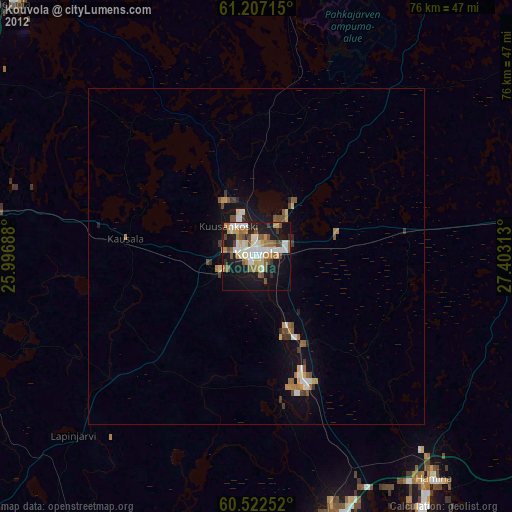
» Earth at Night: Flat Maps 2012, 2016