Lappeenranta night lights from space
Night Light of Lappeenranta (South Karelia) from space (Finland) Src. Average luminocity for 10x10km area is 61.1721% and for 50x50km: 11.2085%.
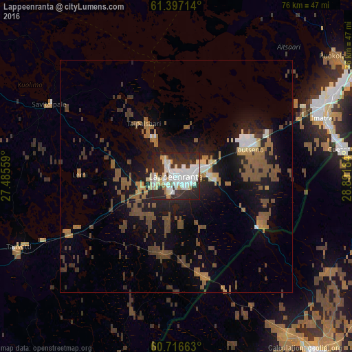
Analysis of Lappeenranta night lights 2016
Square area 10x10 km:
 19.05%
90-99
21%80-89
5.52%70-79
3.9%60-69
2.27%50-59
0.43%40-49
1.08%30-39
8.87%20-29
34.85%10-19
3.03%0-9
0%Square area 50x50 km:
1.11%90-99
1.36%80-89
0.74%70-79
0.82%60-69
1.91%50-59
2.62%40-49
2.75%30-39
1.81%20-29
3.11%10-19
8.16%0-9
75.62%Clear (daylight) street map image can be seen on geolist.org.
Map coordinates:
61° 23' 49.7" North, 27° 29' 8.1" East
61° 3' 31.4" North, 28° 11' 19.4" East
60° 42' 59.9" North, 28° 53' 30.6" East
Some cities around Lappeenranta sort by population:
• Vyborg, RU
49.6 km =30.8 mi,  141°
141°
• Imatra
32.8 km =20.4 mi,  67°
67°
• Svetogorsk, RU
36.7 km =22.8 mi,  80°
80°
• Joutseno
18.4 km =11.4 mi, 68°
• Sovetskiy, RU
63.5 km =39.5 mi,  155°
155°
• Kamennogorsk, RU
52.2 km =32.4 mi,  102°
102°
• Ruokolahti
42.6 km =26.5 mi,  54°
54°
• Luumäki
35.9 km =22.3 mi,  245°
245°
648900 (p: 59,276)
Sources (retrieved 2019-11-25):
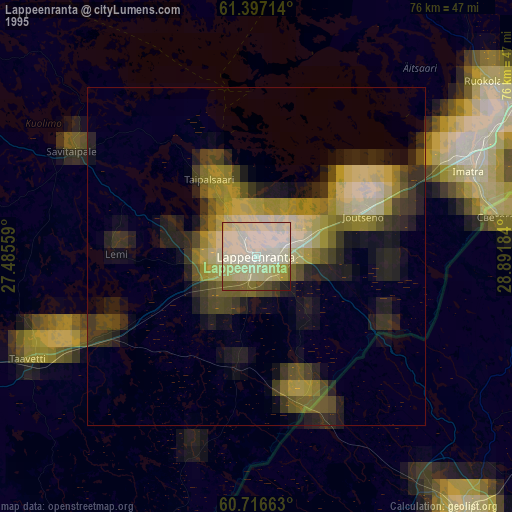
» NASA, Earths city lights 1995
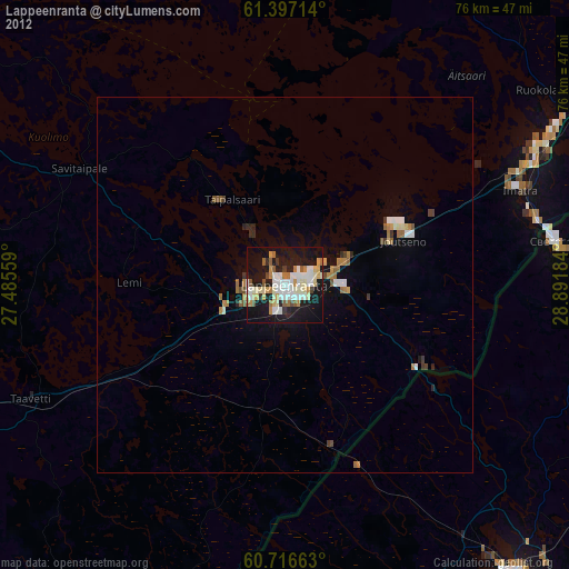
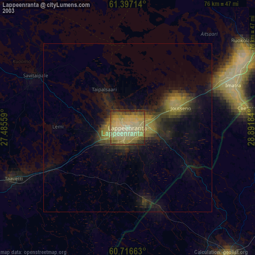
» NASA city lights 2003
» Earth at Night: Flat Maps 2012, 2016