Vyborg night lights from space
Night Light of Vyborg (Leningradskaya Oblast') from space (Russia) Src. Average luminocity for 10x10km area is 61.6201% and for 50x50km: 12.0325%.
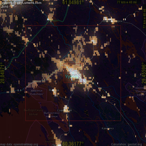
Analysis of Vyborg night lights 2016
Square area 10x10 km:
 12.77%
90-99
16.99%80-89
9.96%70-79
10.82%60-69
9.85%50-59
0.65%40-49
0.65%30-39
12.77%20-29
12.45%10-19
9.2%0-9
3.9%Square area 50x50 km:
0.68%90-99
1%80-89
0.85%70-79
1.3%60-69
3.41%50-59
3.26%40-49
2.81%30-39
1.47%20-29
2.35%10-19
8.58%0-9
74.29%Clear (daylight) street map image can be seen on geolist.org.
Map coordinates:
61° 2' 59.3" North, 28° 2' 59" East
60° 42' 27.5" North, 28° 45' 10.2" East
60° 21' 42.4" North, 29° 27' 21.5" East
Some cities around Vyborg sort by population:
• Lappeenranta, FI
49.6 km =30.8 mi,  321°
321°
• Imatra, FI
51.6 km =32.1 mi,  359°
359°
• Svetogorsk
45.4 km =28.2 mi,  7°
7°
• Joutseno, FI
47.5 km =29.5 mi,  343°
343°
• Kamenka
34.2 km =21.3 mi,  148°
148°
• Sovetskiy
19.1 km =11.9 mi,  192°
192°
• Kamennogorsk
34.4 km =21.4 mi,  36°
36°
• Primorsk
38.8 km =24.1 mi, 191°
470546 (p: 78,633)
Sources (retrieved 2019-11-25):
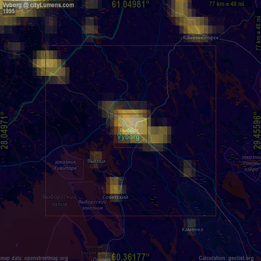
» NASA, Earths city lights 1995
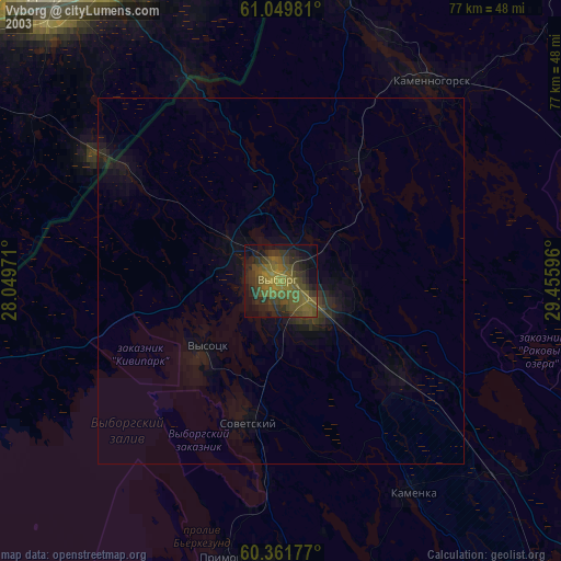
» NASA city lights 2003
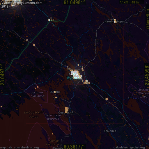
» Earth at Night: Flat Maps 2012, 2016