Lahti night lights from space
Night Light of Lahti (Päijänne Tavastia) from space (Finland) Src. Average luminocity for 10x10km area is 78.061% and for 50x50km: 14.7875%.
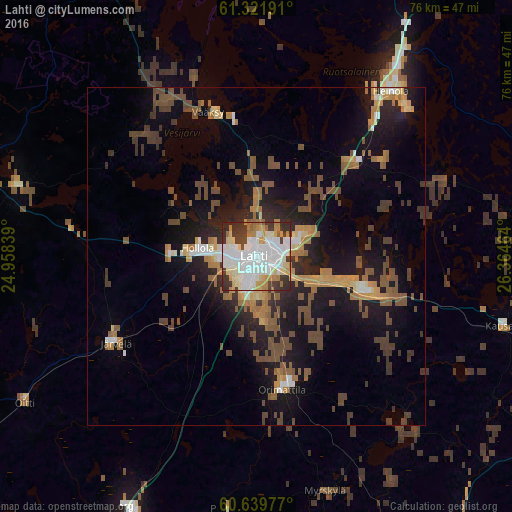
Analysis of Lahti night lights 2016
Square area 10x10 km:
 23.66%
90-99
29.65%80-89
8.68%70-79
8.47%60-69
6.1%50-59
1.55%40-49
2.69%30-39
12.6%20-29
6.51%10-19
0.1%0-9
0%Square area 50x50 km:
1.4%90-99
2.02%80-89
1.13%70-79
2.03%60-69
2.3%50-59
2.66%40-49
3.77%30-39
2.18%20-29
3.15%10-19
11%0-9
68.36%Clear (daylight) street map image can be seen on geolist.org.
Map coordinates:
61° 19' 18.9" North, 24° 57' 30.2" East
60° 58' 57.6" North, 25° 39' 41.4" East
60° 38' 23.2" North, 26° 21' 52.7" East
Some cities around Lahti sort by population:
• Heinola
32 km =19.9 mi,  39°
39°
• Hollola
14.4 km =8.9 mi,  301°
301°
• Mäntsälä
43.1 km =26.8 mi,  205°
205°
• Nastola
15.1 km =9.4 mi,  103°
103°
• Orimattila
20.1 km =12.5 mi,  169°
169°
• Asikkala
27.4 km =17 mi,  341°
341°
• Iitti
37.9 km =23.5 mi, 104°
• Lammi
36.5 km =22.7 mi,  287°
287°
649360 (p: 98,826)
Sources (retrieved 2019-11-25):
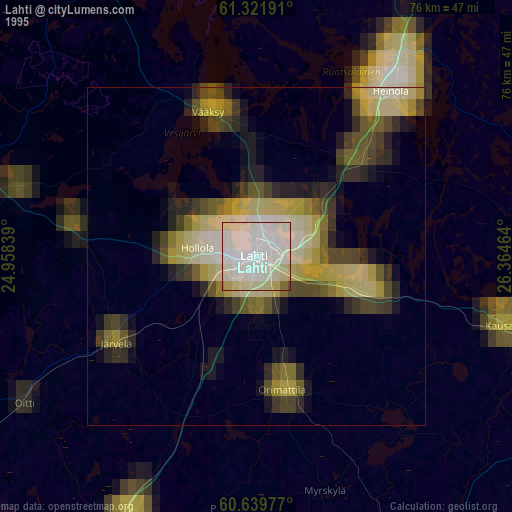
» NASA, Earths city lights 1995
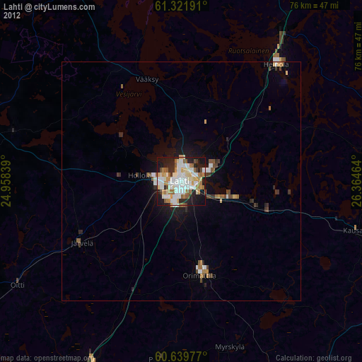
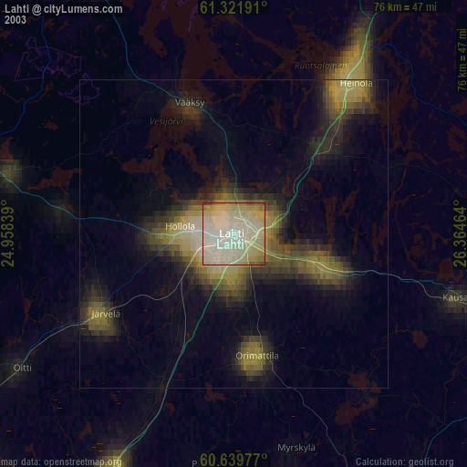
» NASA city lights 2003
» Earth at Night: Flat Maps 2012, 2016