Hollola night lights from space
Night Light of Hollola (Päijänne Tavastia) from space (Finland) Src. Average luminocity for 10x10km area is 7.6342% and for 50x50km: 11.5081%.
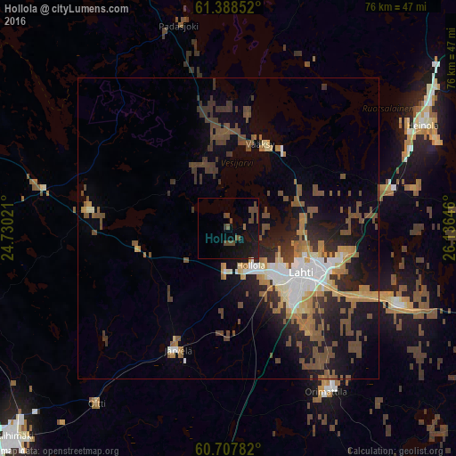
Analysis of Hollola night lights 2016
Square area 10x10 km:
 0%
0%90-99
0%80-89
0%70-79
0%60-69
0.32%50-59
0.43%40-49
7.68%30-39
0.43%20-29
0.76%10-19
13.74%0-9
76.62%Square area 50x50 km:
1.21%90-99
1.71%80-89
0.87%70-79
1.39%60-69
1.76%50-59
1.92%40-49
3.14%30-39
2%20-29
2.67%10-19
7.05%0-9
76.28%Clear (daylight) street map image can be seen on geolist.org.
Map coordinates:
61° 23' 18.7" North, 24° 43' 48.8" East
61° 3' 0" North, 25° 25' 60" East
60° 42' 28.2" North, 26° 8' 11.3" East
Some cities around Hollola sort by population:
• Lahti
14.4 km =8.9 mi,  121°
121°
• Heinola
36.8 km =22.9 mi,  61°
61°
• Mäntsälä
46.8 km =29.1 mi,  187°
187°
• Nastola
29.2 km =18.1 mi,  112°
112°
• Orimattila
31.6 km =19.6 mi,  149°
149°
• Asikkala
18.9 km =11.7 mi,  10°
10°
• Hausjärvi
40.1 km =24.9 mi,  222°
222°
• Lammi
22.7 km =14.1 mi,  279°
279°
657530 (p: 20,405)
Sources (retrieved 2019-11-25):
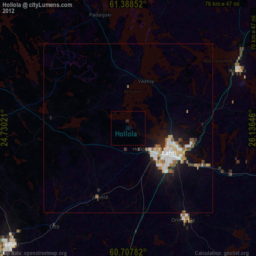
» Earth at Night: Flat Maps 2012, 2016