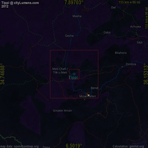
Tippi night lights from space
Night Light of Tippi (SNNPR) from space (Ethiopia) Src. Average luminocity for 10x10km area is 3.9286% and for 50x50km: 0.2404%.
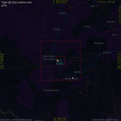
Analysis of Tippi night lights 2016
Square area 10x10 km:
100  0%
0%
90-99 0.87%
80-89 0.87%
70-79 0.87%
60-69 0.65%
50-59 0.22%
40-49 0%
30-39 0.87%
20-29 1.73%
10-19 0.87%
0-9 93.07%
0%90-99
0.87%80-89
0.87%70-79
0.87%60-69
0.65%50-59
0.22%40-49
0%30-39
0.87%20-29
1.73%10-19
0.87%0-9
93.07%Square area 50x50 km:
100 0.03%
90-99 0.04%
80-89 0.03%
70-79 0.07%
60-69 0.03%
50-59 0.01%
40-49 0%
30-39 0.05%
20-29 0.09%
10-19 0.03%
0-9 99.62%
0.03%90-99
0.04%80-89
0.03%70-79
0.07%60-69
0.03%50-59
0.01%40-49
0%30-39
0.05%20-29
0.09%10-19
0.03%0-9
99.62%Clear (daylight) street map image can be seen on geolist.org.
Map coordinates:
7° 53' 49.3" North, 34° 44' 48.8" East
7° 12' 0" North, 35° 27' 0" East
6° 30' 6.8" North, 36° 9' 11.3" East
Some cities around Tippi sort by population:
• Jimma
161.5 km =100.4 mi,  70°
70°
• Gambēla
150.8 km =93.7 mi,  320°
320°
• Metu
123.2 km =76.6 mi,  6°
6°
• Āgaro
150.7 km =93.6 mi,  61°
61°
• Dembī Dolo
164.6 km =102.3 mi,  334°
334°
• Bonga
86.9 km =54 mi,  83°
83°
• Mīzan Teferī
27.1 km =16.8 mi,  145°
145°
• Gorē
106 km =65.9 mi,  4°
4°
327694 (p: 24,169)
Sources (retrieved 2019-11-25):
» Earth at Night: Flat Maps 2012, 2016