Jimma night lights from space
Night Light of Jimma (Oromiya) from space (Ethiopia) Src. Average luminocity for 10x10km area is 13.9256% and for 50x50km: 0.6067%.
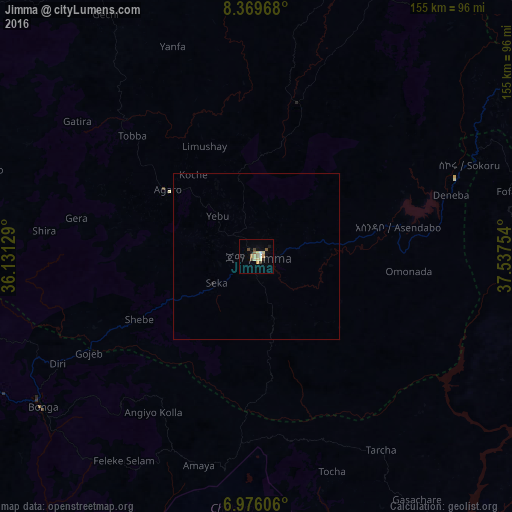
Analysis of Jimma night lights 2016
Square area 10x10 km:
 1.03%
1.03%90-99
1.86%80-89
3.72%70-79
1.65%60-69
0.83%50-59
3.31%40-49
2.07%30-39
0.41%20-29
0.83%10-19
1.86%0-9
82.44%Square area 50x50 km:
0.04%90-99
0.08%80-89
0.15%70-79
0.07%60-69
0.03%50-59
0.13%40-49
0.08%30-39
0.02%20-29
0.03%10-19
0.11%0-9
99.25%Clear (daylight) street map image can be seen on geolist.org.
Map coordinates:
8° 22' 10.8" North, 36° 7' 52.6" East
7° 40' 24.4" North, 36° 50' 3.9" East
6° 58' 33.8" North, 37° 32' 15.1" East
Some cities around Jimma sort by population:
• Sodo
136.5 km =84.8 mi,  131°
131°
• Hosa’ina
113.2 km =70.3 mi,  96°
96°
• Āreka
116.9 km =72.6 mi, 125°
• Bodītī
138.3 km =85.9 mi,  124°
124°
• Āgaro
28.3 km =17.6 mi,  314°
314°
• K’olīto
143.3 km =89 mi,  106°
106°
• Bedelē
101.9 km =63.3 mi,  328°
328°
• Bonga
79.2 km =49.2 mi,  236°
236°
333772 (p: 128,306)
Sources (retrieved 2019-11-25):
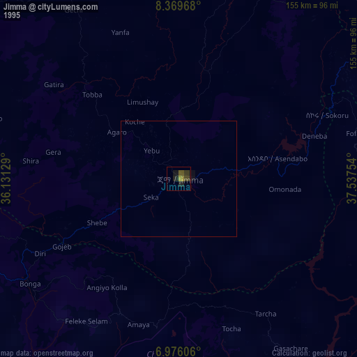
» NASA, Earths city lights 1995
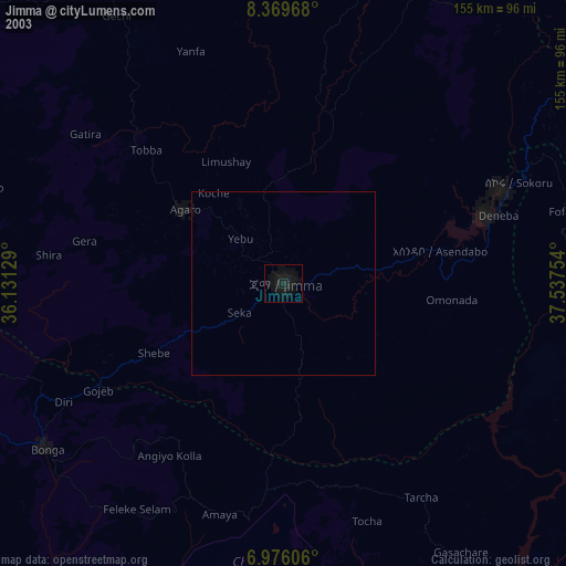
» NASA city lights 2003
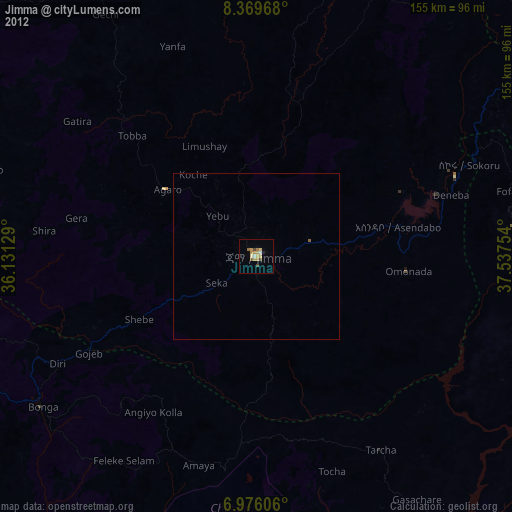
» Earth at Night: Flat Maps 2012, 2016