Mīzan Teferī night lights from space
Night Light of Mīzan Teferī (SNNPR) from space (Ethiopia) Src. Average luminocity for 10x10km area is 2.3658% and for 50x50km: 0.2563%.
Analysis of Mīzan Teferī night lights 2016
Square area 10x10 km:
 0.65%
0.65%90-99
0.22%80-89
0%70-79
0.87%60-69
0%50-59
0%40-49
0.87%30-39
0.43%20-29
0.43%10-19
0%0-9
96.54%Square area 50x50 km:
0.03%90-99
0.04%80-89
0.03%70-79
0.07%60-69
0.03%50-59
0.01%40-49
0.03%30-39
0.05%20-29
0.09%10-19
0.03%0-9
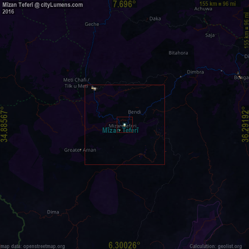
99.58%Clear (daylight) street map image can be seen on geolist.org.
Map coordinates:
7° 41' 45.6" North, 34° 53' 8.4" East
6° 59' 55.1" North, 35° 35' 19.6" East
6° 18' 0.9" North, 36° 17' 30.9" East
Some cities around Mīzan Teferī sort by population:
• Jimma
156.5 km =97.2 mi,  61°
61°
• Felege Neway
162.7 km =101.1 mi,  118°
118°
• Metu
144.7 km =89.9 mi,  359°
359°
• Āgaro
150.5 km =93.5 mi,  51°
51°
• Tippi
27.1 km =16.8 mi,  325°
325°
• Bonga
77.8 km =48.3 mi,  66°
66°
• Bako
173 km =107.5 mi,  141°
141°
• Gorē
128.2 km =79.7 mi, 357°
330534 (p: 14,002)
Sources (retrieved 2019-11-25):
» Earth at Night: Flat Maps 2012, 2016