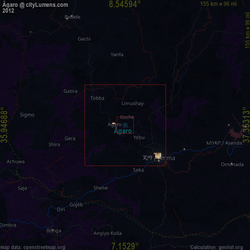
Āgaro night lights from space
Night Light of Āgaro (Oromiya) from space (Ethiopia) Src. Average luminocity for 10x10km area is 0.0331% and for 50x50km: 0.6228%.
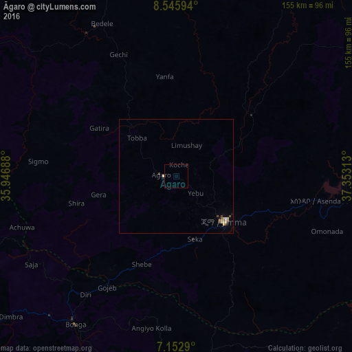
Analysis of Āgaro night lights 2016
Square area 10x10 km:
100  0%
0%
90-99 0%
80-89 0%
70-79 0%
60-69 0%
50-59 0%
40-49 0%
30-39 0%
20-29 0%
10-19 0%
0-9 100%
0%90-99
0%80-89
0%70-79
0%60-69
0%50-59
0%40-49
0%30-39
0%20-29
0%10-19
0%0-9
100%Square area 50x50 km:
100 0.04%
90-99 0.08%
80-89 0.19%
70-79 0.07%
60-69 0.03%
50-59 0.13%
40-49 0.11%
30-39 0.03%
20-29 0.03%
10-19 0.08%
0-9 99.22%
0.04%90-99
0.08%80-89
0.19%70-79
0.07%60-69
0.03%50-59
0.13%40-49
0.11%30-39
0.03%20-29
0.03%10-19
0.08%0-9
99.22%Clear (daylight) street map image can be seen on geolist.org.
Map coordinates:
8° 32' 45.4" North, 35° 56' 48.8" East
7° 51' 0" North, 36° 39' 0" East
7° 9' 10.4" North, 37° 21' 11.3" East
Some cities around Āgaro sort by population:
• Jimma
28.3 km =17.6 mi,  134°
134°
• Hosa’ina
136.8 km =85 mi,  104°
104°
• Āreka
144.9 km =90 mi, 126°
• Metu
127.6 km =79.3 mi,  293°
293°
• Bedelē
74.9 km =46.5 mi,  334°
334°
• Bonga
78 km =48.5 mi,  216°
216°
• Mīzan Teferī
150.5 km =93.5 mi,  231°
231°
• Gorē
127.4 km =79.2 mi, 285°
344661 (p: 28,268)
Sources (retrieved 2019-11-25):
» Earth at Night: Flat Maps 2012, 2016