Bonga night lights from space
Night Light of Bonga (SNNPR) from space (Ethiopia) Src. Average luminocity for 10x10km area is 1.4697% and for 50x50km: 0.0713%.
Analysis of Bonga night lights 2016
Square area 10x10 km:
100  0%
0%
90-99 0%
80-89 0%
70-79 0%
60-69 0%
50-59 0.87%
40-49 0.87%
30-39 0.65%
20-29 1.08%
10-19 0%
0-9 96.54%
0%90-99
0%80-89
0%70-79
0%60-69
0%50-59
0.87%40-49
0.87%30-39
0.65%20-29
1.08%10-19
0%0-9
96.54%Square area 50x50 km:
100 0%
90-99 0%
80-89 0%
70-79 0%
60-69 0%
50-59 0.03%
40-49 0.03%
30-39 0.03%
20-29 0.08%
10-19 0%
0-9 99.83%
0%90-99
0%80-89
0%70-79
0%60-69
0%50-59
0.03%40-49
0.03%30-39
0.03%20-29
0.08%10-19
0%0-9
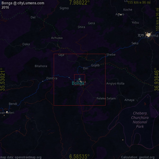
99.83%Clear (daylight) street map image can be seen on geolist.org.
Map coordinates:
7° 58' 48.8" North, 35° 31' 48.8" East
7° 16' 60" North, 36° 13' 60" East
6° 35' 7.3" North, 36° 56' 11.3" East
Some cities around Bonga sort by population:
• Jimma
79.2 km =49.2 mi,  56°
56°
• Felege Neway
130.8 km =81.3 mi,  146°
146°
• Metu
133.8 km =83.1 mi,  327°
327°
• Āgaro
78 km =48.5 mi,  36°
36°
• Tippi
86.9 km =54 mi,  263°
263°
• Bedelē
131.1 km =81.5 mi,  5°
5°
• Mīzan Teferī
77.8 km =48.3 mi,  246°
246°
• Gorē
123.4 km =76.7 mi,  321°
321°
341742 (p: 18,973)
Sources (retrieved 2019-11-25):
» Earth at Night: Flat Maps 2012, 2016