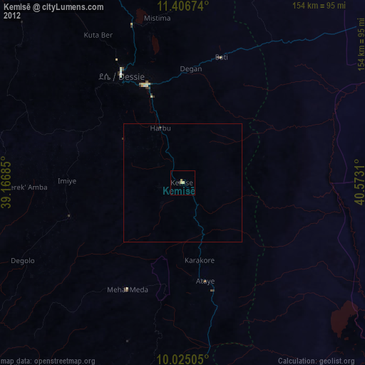
Kemisē night lights from space
Night Light of Kemisē (Amhara) from space (Ethiopia) Src. Average luminocity for 10x10km area is 1.7087% and for 50x50km: 0.1465%.
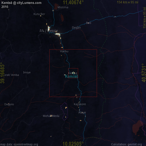
Analysis of Kemisē night lights 2016
Square area 10x10 km:
 0%
0%90-99
0%80-89
0.21%70-79
1.45%60-69
0%50-59
0%40-49
0.41%30-39
0.41%20-29
0%10-19
0%0-9
97.52%Square area 50x50 km:
0%90-99
0.03%80-89
0.01%70-79
0.06%60-69
0.03%50-59
0%40-49
0.02%30-39
0.05%20-29
0.02%10-19
0%0-9
99.78%Clear (daylight) street map image can be seen on geolist.org.
Map coordinates:
11° 24' 24.3" North, 39° 10' 0.7" East
10° 43' 0" North, 39° 52' 11.9" East
10° 1' 30.2" North, 40° 34' 23.2" East
Some cities around Kemisē sort by population:
• Desē
53 km =32.9 mi,  330°
330°
• Kombolcha
42.9 km =26.7 mi,  341°
341°
• Debre Birhan
121.1 km =75.2 mi,  197°
197°
• Batī
55.2 km =34.3 mi,  16°
16°
• Abomsa
82.5 km =51.3 mi,  171°
171°
• Gewanē
104.7 km =65.1 mi,  125°
125°
• Debre Sīna
97.4 km =60.5 mi,  187°
187°
• Were Īlu
49.3 km =30.6 mi,  253°
253°
333356 (p: 23,861)
Sources (retrieved 2019-11-25):
» Earth at Night: Flat Maps 2012, 2016