Felege Neway night lights from space
Night Light of Felege Neway (SNNPR) from space (Ethiopia) Src. Average luminocity for 10x10km area is 0.4069% and for 50x50km: 0.1237%.
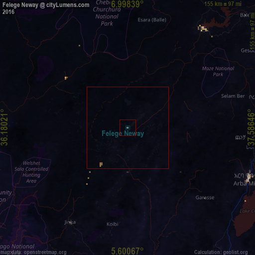
Analysis of Felege Neway night lights 2016
Square area 10x10 km:
 0%
0%90-99
0%80-89
0%70-79
0%60-69
0%50-59
0%40-49
0.87%30-39
0%20-29
0%10-19
0%0-9
99.13%Square area 50x50 km:
0%90-99
0%80-89
0%70-79
0%60-69
0.07%50-59
0.09%40-49
0.05%30-39
0%20-29
0%10-19
0%0-9
99.79%Clear (daylight) street map image can be seen on geolist.org.
Map coordinates:
6° 59' 54.2" North, 36° 10' 48.8" East
6° 18' 0" North, 36° 52' 60" East
5° 36' 2.4" North, 37° 35' 11.3" East
Some cities around Felege Neway sort by population:
• Sodo
115.3 km =71.6 mi,  57°
57°
• Arba Minch
79.4 km =49.3 mi,  111°
111°
• Āreka
124.1 km =77.1 mi,  46°
46°
• Bodītī
131.5 km =81.7 mi, 55°
• Jinka
76.7 km =47.7 mi,  199°
199°
• Bonga
130.8 km =81.3 mi,  326°
326°
• Bako
67.3 km =41.8 mi,  211°
211°
• Gīdolē
89.9 km =55.9 mi,  143°
143°
337853 (p: 33,429)
Sources (retrieved 2019-11-25):
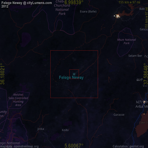
» Earth at Night: Flat Maps 2012, 2016