Bako night lights from space
Night Light of Bako (SNNPR) from space (Ethiopia) Src. Average luminocity for 10x10km area is 0.6219% and for 50x50km: 0.049%.
Analysis of Bako night lights 2016
Square area 10x10 km:
 0%
0%90-99
0%80-89
0%70-79
0%60-69
0%50-59
0%40-49
0%30-39
0.83%20-29
0.83%10-19
0%0-9
98.35%Square area 50x50 km:
0%90-99
0%80-89
0%70-79
0%60-69
0.03%50-59
0%40-49
0%30-39
0.03%20-29
0.03%10-19
0%0-9
99.9%Clear (daylight) street map image can be seen on geolist.org.
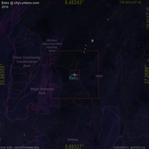
Map coordinates:
6° 28' 56.7" North, 35° 51' 48.8" East
5° 46' 60" North, 36° 34' 0" East
5° 5' 0.1" North, 37° 16' 11.3" East
Some cities around Bako sort by population:
• Sodo
178.2 km =110.7 mi,  47°
47°
• Arba Minch
112.3 km =69.8 mi,  75°
75°
• Felege Neway
67.3 km =41.8 mi,  31°
31°
• Jinka
17.5 km =10.9 mi,  148°
148°
• Hagere Maryam
185.4 km =115.2 mi,  95°
95°
• Bonga
170.8 km =106.1 mi,  347°
347°
• Mīzan Teferī
173 km =107.5 mi,  321°
321°
• Gīdolē
89.7 km =55.7 mi, 99°
342856 (p: 17,872)
Sources (retrieved 2019-11-25):
» Earth at Night: Flat Maps 2012, 2016