Debre Birhan night lights from space
Night Light of Debre Birhan (Amhara) from space (Ethiopia) Src. Average luminocity for 10x10km area is 8.8377% and for 50x50km: 0.4438%.
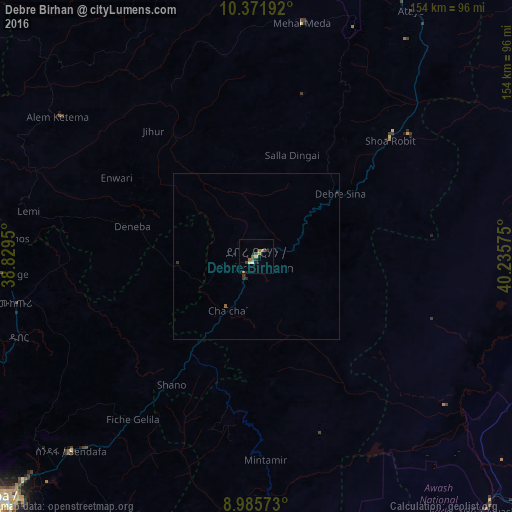
Analysis of Debre Birhan night lights 2016
Square area 10x10 km:
 0%
0%90-99
0.43%80-89
2.38%70-79
1.08%60-69
1.73%50-59
2.6%40-49
1.52%30-39
1.08%20-29
1.95%10-19
1.08%0-9
86.15%Square area 50x50 km:
0%90-99
0.02%80-89
0.09%70-79
0.06%60-69
0.07%50-59
0.13%40-49
0.06%30-39
0.14%20-29
0.14%10-19
0.06%0-9
99.23%Clear (daylight) street map image can be seen on geolist.org.
Map coordinates:
10° 22' 18.9" North, 38° 49' 46.2" East
9° 40' 46.3" North, 39° 31' 57.4" East
8° 59' 8.6" North, 40° 14' 8.7" East
Some cities around Debre Birhan sort by population:
• Addis Ababa
112.8 km =70.1 mi,  229°
229°
• Bishoftu
119.7 km =74.4 mi,  210°
210°
• Fichē
88.6 km =55.1 mi,  278°
278°
• Metahāra
96.4 km =59.9 mi,  154°
154°
• Abomsa
59.8 km =37.2 mi,  55°
55°
• Āwash
104.1 km =64.7 mi,  138°
138°
• Were Īlu
101.7 km =63.2 mi,  354°
354°
• Sendafa
81 km =50.3 mi,  223°
223°
339734 (p: 57,787)
Sources (retrieved 2019-11-25):
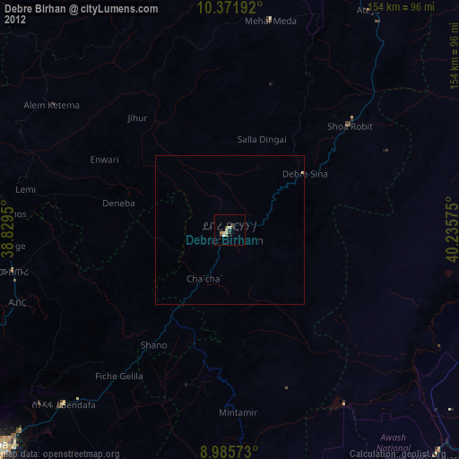
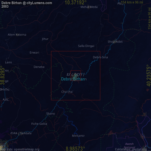
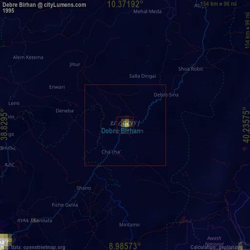
» NASA, Earths city lights 1995
» NASA city lights 2003
» Earth at Night: Flat Maps 2012, 2016