Gimbi night lights from space
Night Light of Gimbi (Oromiya) from space (Ethiopia) Src. Average luminocity for 10x10km area is 1.7013% and for 50x50km: 0.0668%.
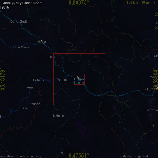
Analysis of Gimbi night lights 2016
Square area 10x10 km:
 0%
0%90-99
0%80-89
0%70-79
0%60-69
0%50-59
0.43%40-49
3.03%30-39
0%20-29
0%10-19
0%0-9
96.54%Square area 50x50 km:
0%90-99
0%80-89
0%70-79
0%60-69
0%50-59
0.02%40-49
0.12%30-39
0%20-29
0%10-19
0%0-9
99.86%Clear (daylight) street map image can be seen on geolist.org.
Map coordinates:
9° 51' 49.5" North, 35° 7' 54.4" East
9° 10' 13.1" North, 35° 50' 5.7" East
8° 28' 31.8" North, 36° 32' 16.9" East
Some cities around Gimbi sort by population:
• Gambēla
171.4 km =106.5 mi,  233°
233°
• Metu
100.6 km =62.5 mi,  195°
195°
• Dembī Dolo
134 km =83.3 mi,  238°
238°
• Mendī
106.8 km =66.4 mi,  310°
310°
• Bedelē
97.7 km =60.7 mi,  144°
144°
• Nejo
51.9 km =32.2 mi, 314°
• Shambu
145.6 km =90.5 mi,  72°
72°
• Gorē
118.2 km =73.4 mi, 196°
336496 (p: 31,809)
Sources (retrieved 2019-11-25):
» Earth at Night: Flat Maps 2012, 2016