Nejo night lights from space
Night Light of Nejo (Oromiya) from space (Ethiopia) Src. Average luminocity for 10x10km area is 1.2121% and for 50x50km: 0.0476%.
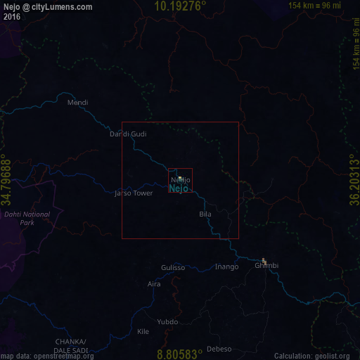
Analysis of Nejo night lights 2016
Square area 10x10 km:
 0%
0%90-99
0%80-89
0%70-79
0.87%60-69
0%50-59
0%40-49
0%30-39
0%20-29
1.08%10-19
0.65%0-9
97.4%Square area 50x50 km:
0%90-99
0%80-89
0%70-79
0.03%60-69
0%50-59
0%40-49
0%30-39
0%20-29
0.04%10-19
0.03%0-9
99.9%Clear (daylight) street map image can be seen on geolist.org.
Map coordinates:
10° 11' 33.9" North, 34° 47' 48.8" East
9° 30' 0" North, 35° 30' 0" East
8° 48' 21" North, 36° 12' 11.3" East
Some cities around Nejo sort by population:
• Gambēla
171.6 km =106.6 mi,  215°
215°
• Gimbi
51.9 km =32.2 mi,  134°
134°
• Āsosa
123.2 km =76.6 mi,  300°
300°
• Metu
133.7 km =83.1 mi,  176°
176°
• Dembī Dolo
132.1 km =82.1 mi, 215°
• Mendī
55.1 km =34.2 mi,  307°
307°
• Bedelē
149.2 km =92.7 mi,  141°
141°
• Gorē
150.2 km =93.3 mi, 178°
330120 (p: 20,166)
Sources (retrieved 2019-11-25):
» Earth at Night: Flat Maps 2012, 2016