Jinka night lights from space
Night Light of Jinka (SNNPR) from space (Ethiopia) Src. Average luminocity for 10x10km area is 0% and for 50x50km: 0.0258%.
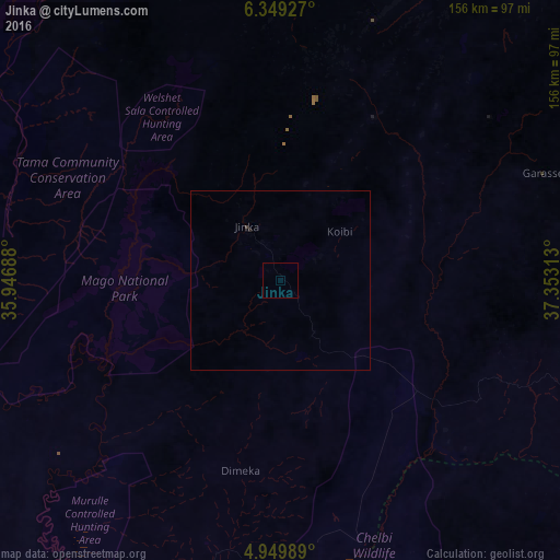
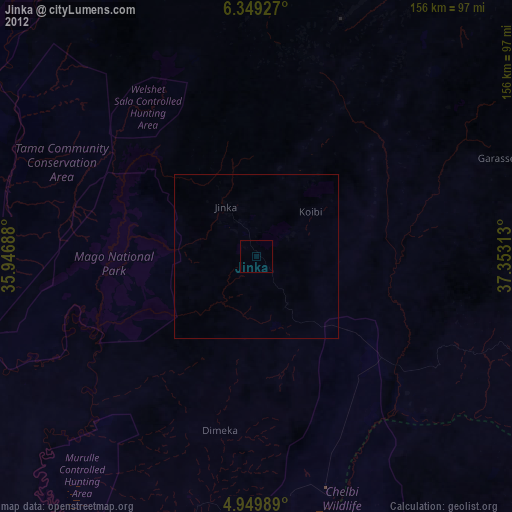
Analysis of Jinka night lights 2016
Square area 10x10 km:
 0%
0%90-99
0%80-89
0%70-79
0%60-69
0%50-59
0%40-49
0%30-39
0%20-29
0%10-19
0%0-9
100%Square area 50x50 km:
0%90-99
0%80-89
0%70-79
0%60-69
0%50-59
0%40-49
0%30-39
0.03%20-29
0.03%10-19
0%0-9
99.93%Clear (daylight) street map image can be seen on geolist.org.
Map coordinates:
6° 20' 57.4" North, 35° 56' 48.8" East
5° 39' 0" North, 36° 39' 0" East
4° 56' 59.6" North, 37° 21' 11.3" East
Some cities around Jinka sort by population:
• Sodo
182.2 km =113.2 mi,  42°
42°
• Arba Minch
108.3 km =67.3 mi,  66°
66°
• Felege Neway
76.7 km =47.7 mi,  19°
19°
• Hagere Maryam
175.5 km =109.1 mi,  90°
90°
• Bonga
187.4 km =116.4 mi,  345°
345°
• Bako
17.5 km =10.9 mi,  328°
328°
• Yabēlo
180.1 km =111.9 mi,  118°
118°
• Gīdolē
79.3 km =49.3 mi, 90°
333750 (p: 32,115)
Sources (retrieved 2019-11-25):
» Earth at Night: Flat Maps 2012, 2016