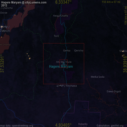
Hagere Maryam night lights from space
Night Light of Hagere Maryam (Oromiya) from space (Ethiopia) Src. Average luminocity for 10x10km area is 1.7541% and for 50x50km: 0.0736%.
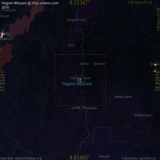
Analysis of Hagere Maryam night lights 2016
Square area 10x10 km:
 0%
0%90-99
0%80-89
0%70-79
0%60-69
0%50-59
0.83%40-49
0.83%30-39
0.83%20-29
1.45%10-19
0.21%0-9
95.87%Square area 50x50 km:
0%90-99
0%80-89
0%70-79
0%60-69
0%50-59
0.03%40-49
0.03%30-39
0.03%20-29
0.06%10-19
0.01%0-9
99.83%Clear (daylight) street map image can be seen on geolist.org.
Map coordinates:
6° 20' 0.5" North, 37° 31' 58.5" East
5° 38' 3" North, 38° 14' 9.7" East
4° 56' 2.6" North, 38° 56' 21" East
Some cities around Hagere Maryam sort by population:
• Arba Minch
87.9 km =54.6 mi,  300°
300°
• Dīla
87.5 km =54.4 mi,  5°
5°
• Yirga ‘Alem
125.7 km =78.1 mi, 9°
• Shakiso
76 km =47.2 mi,  78°
78°
• Kibre Mengist
87.2 km =54.2 mi,  71°
71°
• Yabēlo
85.2 km =52.9 mi,  191°
191°
• Wendo
109.2 km =67.9 mi, 10°
• Gīdolē
96.2 km =59.8 mi,  271°
271°
344620 (p: 22,105)
Sources (retrieved 2019-11-25):
» Earth at Night: Flat Maps 2012, 2016