Arba Minch night lights from space
Night Light of Arba Minch (SNNPR) from space (Ethiopia) Src. Average luminocity for 10x10km area is 9.3264% and for 50x50km: 0.439%.
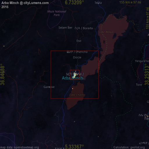
Analysis of Arba Minch night lights 2016
Square area 10x10 km:
 0.41%
0.41%90-99
0.41%80-89
0.83%70-79
2.69%60-69
1.45%50-59
1.45%40-49
2.27%30-39
3.31%20-29
2.07%10-19
0%0-9
85.12%Square area 50x50 km:
0.02%90-99
0.02%80-89
0.03%70-79
0.11%60-69
0.07%50-59
0.09%40-49
0.09%30-39
0.14%20-29
0.12%10-19
0%0-9
99.31%Clear (daylight) street map image can be seen on geolist.org.
Map coordinates:
6° 43' 55.5" North, 36° 50' 48.8" East
6° 1' 60" North, 37° 33' 0" East
5° 20' 1.2" North, 38° 15' 11.3" East
Some cities around Arba Minch sort by population:
• Sodo
94.8 km =58.9 mi,  14°
14°
• Dīla
94.9 km =59 mi,  63°
63°
• Felege Neway
79.4 km =49.3 mi,  291°
291°
• Bodītī
109.5 km =68 mi,  18°
18°
• Jinka
108.3 km =67.3 mi,  246°
246°
• Hagere Maryam
87.9 km =54.6 mi,  120°
120°
• Bako
112.3 km =69.8 mi,  255°
255°
• Gīdolē
47.2 km =29.3 mi,  205°
205°
343663 (p: 69,622)
Sources (retrieved 2019-11-25):
» NASA, Earths city lights 1995
» NASA city lights 2003
» Earth at Night: Flat Maps 2012, 2016