Yabēlo night lights from space
Night Light of Yabēlo (Oromiya) from space (Ethiopia) Src. Average luminocity for 10x10km area is 1.2583% and for 50x50km: 0.0612%.
Analysis of Yabēlo night lights 2016
Square area 10x10 km:
 0%
0%90-99
0%80-89
0%70-79
0%60-69
0.83%50-59
0%40-49
0%30-39
1.65%20-29
0%10-19
0%0-9
97.52%Square area 50x50 km:
0%90-99
0%80-89
0%70-79
0%60-69
0.03%50-59
0%40-49
0%30-39
0.07%20-29
0.03%10-19
0%0-9
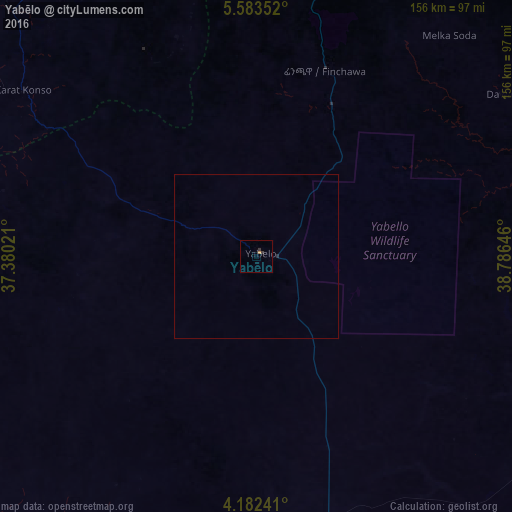
99.86%Clear (daylight) street map image can be seen on geolist.org.
Map coordinates:
5° 35' 0.7" North, 37° 22' 48.8" East
4° 52' 60" North, 38° 4' 60" East
4° 10' 56.7" North, 38° 47' 11.3" East
Some cities around Yabēlo sort by population:
• Arba Minch
140.8 km =87.5 mi,  335°
335°
• Dīla
172.4 km =107.1 mi,  8°
8°
• Shakiso
134.1 km =83.3 mi,  43°
43°
• Jinka
180.1 km =111.9 mi,  298°
298°
• Kibre Mengist
149.3 km =92.8 mi, 41°
• Hagere Maryam
85.2 km =52.9 mi, 11°
• Gīdolē
116.5 km =72.4 mi,  317°
317°
• Mēga
95.7 km =59.5 mi,  165°
165°
326036 (p: 17,819)
Sources (retrieved 2019-11-25):
» Earth at Night: Flat Maps 2012, 2016