Gīdolē night lights from space
Night Light of Gīdolē (SNNPR) from space (Ethiopia) Src. Average luminocity for 10x10km area is 0% and for 50x50km: 0.0084%.
Analysis of Gīdolē night lights 2016
Square area 10x10 km:
 0%
0%90-99
0%80-89
0%70-79
0%60-69
0%50-59
0%40-49
0%30-39
0%20-29
0%10-19
0%0-9
100%Square area 50x50 km:
0%90-99
0%80-89
0%70-79
0%60-69
0%50-59
0%40-49
0%30-39
0%20-29
0.03%10-19
0%0-9
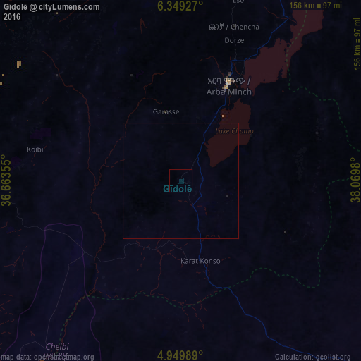
99.97%Clear (daylight) street map image can be seen on geolist.org.
Map coordinates:
6° 20' 57.4" North, 36° 39' 48.8" East
5° 39' 0" North, 37° 22' 0" East
4° 56' 59.6" North, 38° 4' 11.3" East
Some cities around Gīdolē sort by population:
• Sodo
141.4 km =87.9 mi,  17°
17°
• Arba Minch
47.2 km =29.3 mi,  25°
25°
• Dīla
135.3 km =84.1 mi,  50°
50°
• Felege Neway
89.9 km =55.9 mi,  323°
323°
• Jinka
79.3 km =49.3 mi,  270°
270°
• Hagere Maryam
96.2 km =59.8 mi,  91°
91°
• Bako
89.7 km =55.7 mi,  279°
279°
• Yabēlo
116.5 km =72.4 mi,  137°
137°
336526 (p: 10,736)
Sources (retrieved 2019-11-25):
» Earth at Night: Flat Maps 2012, 2016