Goba night lights from space
Night Light of Goba (Oromiya) from space (Ethiopia) Src. Average luminocity for 10x10km area is 0.2554% and for 50x50km: 0.0832%.
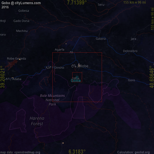
Analysis of Goba night lights 2016
Square area 10x10 km:
100  0%
0%
90-99 0%
80-89 0%
70-79 0%
60-69 0%
50-59 0%
40-49 0%
30-39 0%
20-29 0.87%
10-19 0%
0-9 99.13%
0%90-99
0%80-89
0%70-79
0%60-69
0%50-59
0%40-49
0%30-39
0%20-29
0.87%10-19
0%0-9
99.13%Square area 50x50 km:
100 0%
90-99 0%
80-89 0%
70-79 0%
60-69 0%
50-59 0%
40-49 0.08%
30-39 0.06%
20-29 0.07%
10-19 0%
0-9 99.79%
0%90-99
0%80-89
0%70-79
0%60-69
0%50-59
0%40-49
0.08%30-39
0.06%20-29
0.07%10-19
0%0-9
99.79%Clear (daylight) street map image can be seen on geolist.org.
Map coordinates:
7° 42' 50.4" North, 39° 16' 48.8" East
7° 1' 0" North, 39° 58' 60" East
6° 19' 5.9" North, 40° 41' 11.3" East
Some cities around Goba sort by population:
• Hawassa
166.4 km =103.4 mi,  271°
271°
• Shashemenē
154 km =95.7 mi,  277°
277°
• Āsasa
86.9 km =54 mi, 276°
• Dodola
88.4 km =54.9 mi, 267°
• Ginir
81.4 km =50.6 mi,  80°
80°
• Huruta
144.1 km =89.5 mi,  331°
331°
• Sirre
154.7 km =96.1 mi,  339°
339°
• Kofelē
132.5 km =82.3 mi, 272°
336350 (p: 34,369)
Sources (retrieved 2019-11-25):
» Earth at Night: Flat Maps 2012, 2016