Ginir night lights from space
Night Light of Ginir (Oromiya) from space (Ethiopia) Src. Average luminocity for 10x10km area is 0.21% and for 50x50km: 0.0084%.
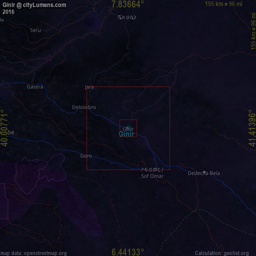
Analysis of Ginir night lights 2016
Square area 10x10 km:
 0%
0%90-99
0%80-89
0%70-79
0%60-69
0%50-59
0%40-49
0%30-39
0%20-29
0.87%10-19
0%0-9
99.13%Square area 50x50 km:
0%90-99
0%80-89
0%70-79
0%60-69
0%50-59
0%40-49
0%30-39
0%20-29
0.03%10-19
0%0-9
99.97%Clear (daylight) street map image can be seen on geolist.org.
Map coordinates:
7° 50' 11.9" North, 40° 0' 27.8" East
7° 8' 22.3" North, 40° 42' 39" East
6° 26' 28.8" North, 41° 24' 50.3" East
Some cities around Ginir sort by population:
• Goba
81.4 km =50.6 mi,  260°
260°
• Āsasa
166.8 km =103.6 mi,  268°
268°
• Dodola
169.4 km =105.3 mi, 264°
• Bedēsa
195.9 km =121.7 mi,  2°
2°
• Gelemso
187.7 km =116.6 mi,  353°
353°
• Huruta
187.4 km =116.4 mi,  306°
306°
• Sirre
188.2 km =116.9 mi, 314°
• Kofelē
212.8 km =132.2 mi, 267°
336454 (p: 16,757)
Sources (retrieved 2019-11-25):
» Earth at Night: Flat Maps 2012, 2016