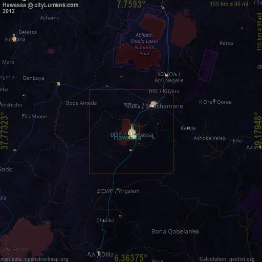
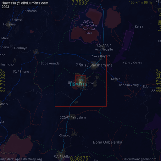
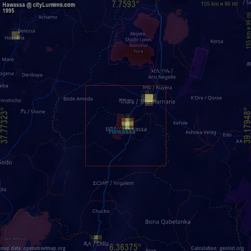
Hawassa night lights from space
Night Light of Hawassa (SNNPR) from space (Ethiopia) Src. Average luminocity for 10x10km area is 31.4048% and for 50x50km: 2.045%.
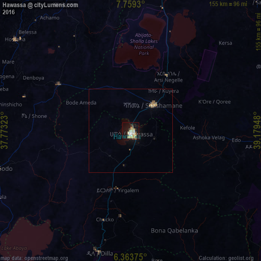
Analysis of Hawassa night lights 2016
Square area 10x10 km:
 2.81%
2.81%90-99
5.63%80-89
8.01%70-79
8.23%60-69
1.73%50-59
1.52%40-49
1.95%30-39
2.38%20-29
4.55%10-19
28.57%0-9
34.63%Square area 50x50 km:
0.11%90-99
0.22%80-89
0.39%70-79
0.53%60-69
0.13%50-59
0.23%40-49
0.23%30-39
0.16%20-29
0.27%10-19
1.57%0-9
96.14%Clear (daylight) street map image can be seen on geolist.org.
Map coordinates:
7° 45' 33.5" North, 37° 46' 23.6" East
7° 3' 43.4" North, 38° 28' 34.9" East
6° 21' 49.5" North, 39° 10' 46.1" East
Some cities around Hawassa sort by population:
• Shashemenē
20.5 km =12.7 mi,  41°
41°
• Yirga ‘Alem
35.3 km =21.9 mi,  190°
190°
• Bodītī
68.1 km =42.3 mi,  261°
261°
• K’olīto
51.8 km =32.2 mi,  303°
303°
• Wendo
51.8 km =32.2 mi, 187°
• Leku
21.3 km =13.2 mi, 189°
• Kofelē
33.9 km =21.1 mi,  89°
89°
• Hāgere Selam
64.5 km =40.1 mi,  176°
176°
343137 (p: 133,097)
Sources (retrieved 2019-11-25):
» NASA, Earths city lights 1995
» NASA city lights 2003
» Earth at Night: Flat Maps 2012, 2016