Dodola night lights from space
Night Light of Dodola (Oromiya) from space (Ethiopia) Src. Average luminocity for 10x10km area is 0% and for 50x50km: 0.0236%.
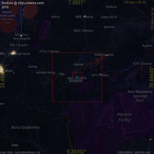
Analysis of Dodola night lights 2016
Square area 10x10 km:
 0%
0%90-99
0%80-89
0%70-79
0%60-69
0%50-59
0%40-49
0%30-39
0%20-29
0%10-19
0%0-9
100%Square area 50x50 km:
0%90-99
0%80-89
0%70-79
0%60-69
0%50-59
0%40-49
0%30-39
0.07%20-29
0%10-19
0%0-9
99.93%Clear (daylight) street map image can be seen on geolist.org.
Map coordinates:
7° 40' 50.5" North, 38° 28' 48.8" East
6° 58' 60" North, 39° 10' 60" East
6° 17' 5.7" North, 39° 53' 11.3" East
Some cities around Dodola sort by population:
• Hawassa
78.5 km =48.8 mi,  276°
276°
• Shashemenē
68.7 km =42.7 mi,  290°
290°
• Yirga ‘Alem
88.5 km =55 mi,  252°
252°
• Goba
88.4 km =54.9 mi,  87°
87°
• Āsasa
13.1 km =8.1 mi,  8°
8°
• Leku
82.5 km =51.3 mi,  261°
261°
• Kofelē
45.1 km =28 mi, 281°
• Hāgere Selam
92.2 km =57.3 mi,  232°
232°
338726 (p: 23,116)
Sources (retrieved 2019-11-25):
» Earth at Night: Flat Maps 2012, 2016