Shashemenē night lights from space
Night Light of Shashemenē (Oromiya) from space (Ethiopia) Src. Average luminocity for 10x10km area is 11.5823% and for 50x50km: 2.0647%.
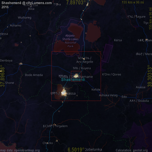
Analysis of Shashemenē night lights 2016
Square area 10x10 km:
 0%
0%90-99
0%80-89
1.73%70-79
4.55%60-69
1.52%50-59
3.03%40-49
3.46%30-39
0.43%20-29
0.87%10-19
0%0-9
84.42%Square area 50x50 km:
0.11%90-99
0.22%80-89
0.39%70-79
0.53%60-69
0.16%50-59
0.27%40-49
0.23%30-39
0.13%20-29
0.27%10-19
1.54%0-9
96.14%Clear (daylight) street map image can be seen on geolist.org.
Map coordinates:
7° 53' 49.3" North, 37° 53' 48.8" East
7° 12' 0" North, 38° 36' 0" East
6° 30' 6.8" North, 39° 18' 11.3" East
Some cities around Shashemenē sort by population:
• Hawassa
20.5 km =12.7 mi,  221°
221°
• Yirga ‘Alem
54 km =33.6 mi,  202°
202°
• K’olīto
58.4 km =36.3 mi,  282°
282°
• Āsasa
67.1 km =41.7 mi,  99°
99°
• Dodola
68.7 km =42.7 mi,  110°
110°
• Wendo
69.7 km =43.3 mi, 196°
• Leku
40.2 km =25 mi,  205°
205°
• Kofelē
25.1 km =15.6 mi,  126°
126°
328689 (p: 85,871)
Sources (retrieved 2019-11-25):
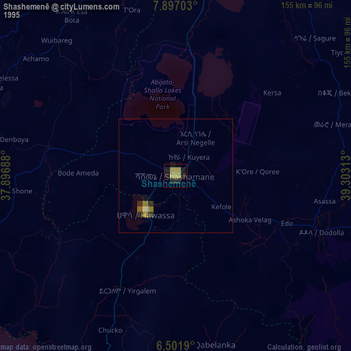
» NASA, Earths city lights 1995
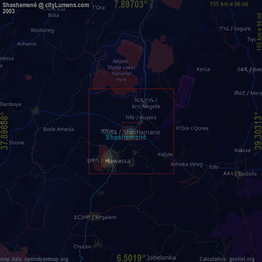
» NASA city lights 2003
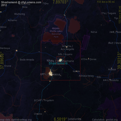
» Earth at Night: Flat Maps 2012, 2016