Kofelē night lights from space
Night Light of Kofelē (Oromiya) from space (Ethiopia) Src. Average luminocity for 10x10km area is 0% and for 50x50km: 0.4901%.
Analysis of Kofelē night lights 2016
Square area 10x10 km:
 0%
0%90-99
0%80-89
0%70-79
0%60-69
0%50-59
0%40-49
0%30-39
0%20-29
0%10-19
0%0-9
100%Square area 50x50 km:
0%90-99
0%80-89
0.07%70-79
0.18%60-69
0.06%50-59
0.12%40-49
0.14%30-39
0.02%20-29
0.07%10-19
0%0-9
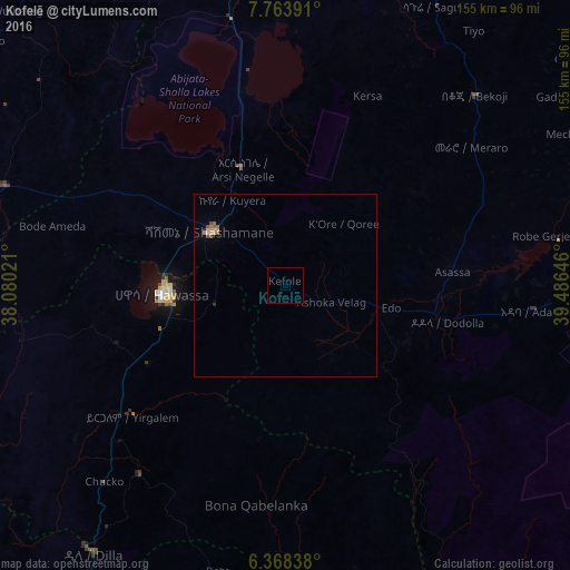
99.34%Clear (daylight) street map image can be seen on geolist.org.
Map coordinates:
7° 45' 50.1" North, 38° 4' 48.8" East
7° 4' 0" North, 38° 46' 60" East
6° 22' 6.2" North, 39° 29' 11.3" East
Some cities around Kofelē sort by population:
• Hawassa
33.9 km =21.1 mi,  269°
269°
• Shashemenē
25.1 km =15.6 mi,  306°
306°
• Yirga ‘Alem
53.6 km =33.3 mi,  228°
228°
• Āsasa
46.1 km =28.6 mi,  85°
85°
• Dodola
45.1 km =28 mi,  101°
101°
• Wendo
65.8 km =40.9 mi,  217°
217°
• Leku
43.2 km =26.8 mi,  240°
240°
• Hāgere Selam
71.2 km =44.2 mi,  204°
204°
332938 (p: 9,643)
Sources (retrieved 2019-11-25):
» Earth at Night: Flat Maps 2012, 2016