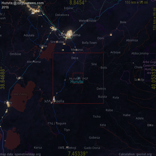
Huruta night lights from space
Night Light of Huruta (Oromiya) from space (Ethiopia) Src. Average luminocity for 10x10km area is 0.3388% and for 50x50km: 0.3687%.
Analysis of Huruta night lights 2016
Square area 10x10 km:
100  0%
0%
90-99 0%
80-89 0%
70-79 0%
60-69 0%
50-59 0%
40-49 0.83%
30-39 0%
20-29 0%
10-19 0%
0-9 99.17%
0%90-99
0%80-89
0%70-79
0%60-69
0%50-59
0%40-49
0.83%30-39
0%20-29
0%10-19
0%0-9
99.17%Square area 50x50 km:
100 0.04%
90-99 0.04%
80-89 0.07%
70-79 0.1%
60-69 0.02%
50-59 0%
40-49 0.13%
30-39 0.03%
20-29 0.12%
10-19 0.02%
0-9 99.43%
0.04%90-99
0.04%80-89
0.07%70-79
0.1%60-69
0.02%50-59
0%40-49
0.13%30-39
0.03%20-29
0.12%10-19
0.02%0-9
99.43%Clear (daylight) street map image can be seen on geolist.org.
Map coordinates:
8° 50' 43.4" North, 38° 38' 48.8" East
8° 9' 0" North, 39° 21' 0" East
7° 27' 12.2" North, 40° 3' 11.3" East
Some cities around Huruta sort by population:
• Nazrēt
45.4 km =28.2 mi,  348°
348°
• Bishoftu
78.4 km =48.7 mi,  328°
328°
• Ziway
73.8 km =45.9 mi,  250°
250°
• Mojo
54.7 km =34 mi, 332°
• Butajīra
108.3 km =67.3 mi,  268°
268°
• Metahāra
104.1 km =64.7 mi,  36°
36°
• Wenjī
34.2 km =21.3 mi, 347°
• Sirre
23.6 km =14.7 mi, 38°
334529 (p: 12,442)
Sources (retrieved 2019-11-25):
» Earth at Night: Flat Maps 2012, 2016