Abomsa night lights from space
Night Light of Abomsa (Amhara) from space (Ethiopia) Src. Average luminocity for 10x10km area is 1.5971% and for 50x50km: 0.202%.
Analysis of Abomsa night lights 2016
Square area 10x10 km:
 0%
0%90-99
0%80-89
0%70-79
0.83%60-69
0%50-59
0%40-49
0.21%30-39
0.83%20-29
1.24%10-19
1.03%0-9
95.87%Square area 50x50 km:
0%90-99
0%80-89
0.06%70-79
0.04%60-69
0.03%50-59
0%40-49
0.05%30-39
0.06%20-29
0.08%10-19
0.08%0-9
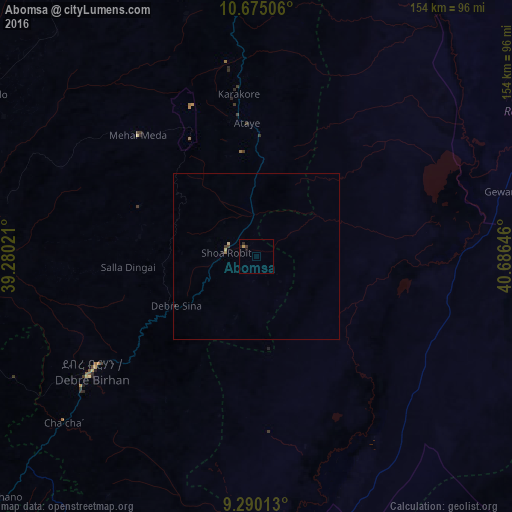
99.6%Clear (daylight) street map image can be seen on geolist.org.
Map coordinates:
10° 40' 30.2" North, 39° 16' 48.8" East
9° 58' 60" North, 39° 58' 60" East
9° 17' 24.5" North, 40° 41' 11.3" East
Some cities around Abomsa sort by population:
• Kombolcha
124.9 km =77.6 mi,  347°
347°
• Debre Birhan
59.8 km =37.2 mi,  235°
235°
• Kemisē
82.5 km =51.3 mi, 351°
• Metahāra
120.7 km =75 mi,  183°
183°
• Āwash
113 km =70.2 mi,  169°
169°
• Gewanē
75.4 km =46.9 mi,  74°
74°
• Debre Sīna
28.7 km =17.8 mi, 238°
• Were Īlu
90 km =55.9 mi,  318°
318°
345704 (p: 15,258)
Sources (retrieved 2019-11-25):
» Earth at Night: Flat Maps 2012, 2016