Shambu night lights from space
Night Light of Shambu (Oromiya) from space (Ethiopia) Src. Average luminocity for 10x10km area is 0.9675% and for 50x50km: 0.0559%.
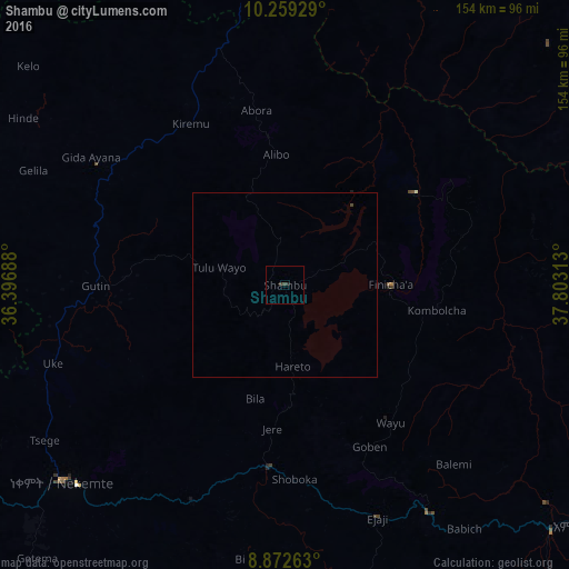
Analysis of Shambu night lights 2016
Square area 10x10 km:
 0%
0%90-99
0%80-89
0%70-79
0%60-69
0%50-59
0%40-49
0.43%30-39
1.3%20-29
0.87%10-19
0%0-9
97.4%Square area 50x50 km:
0%90-99
0%80-89
0%70-79
0%60-69
0%50-59
0%40-49
0.05%30-39
0.05%20-29
0.03%10-19
0%0-9
99.86%Clear (daylight) street map image can be seen on geolist.org.
Map coordinates:
10° 15' 33.4" North, 36° 23' 48.8" East
9° 34' 0" North, 37° 6' 0" East
8° 52' 21.5" North, 37° 48' 11.3" East
Some cities around Shambu sort by population:
• Debre Mark’os
111.3 km =69.2 mi,  38°
38°
• Hāgere Hiywet
104.8 km =65.1 mi,  128°
128°
• Gimbi
145.6 km =90.5 mi,  252°
252°
• Finote Selam
127.3 km =79.1 mi,  8°
8°
• Burē
126.1 km =78.4 mi,  358°
358°
• Gebre Guracha
144.8 km =90 mi,  79°
79°
• Dejen
131.4 km =81.6 mi,  59°
59°
• Gēdo
72.2 km =44.9 mi,  147°
147°
328709 (p: 15,354)
Sources (retrieved 2019-11-25):
» Earth at Night: Flat Maps 2012, 2016