Bichena night lights from space
Night Light of Bichena (Amhara) from space (Ethiopia) Src. Average luminocity for 10x10km area is 1.2107% and for 50x50km: 0.0725%.
Analysis of Bichena night lights 2016
Square area 10x10 km:
 0%
0%90-99
0%80-89
0%70-79
0.83%60-69
0%50-59
0%40-49
0.21%30-39
0.62%20-29
0.83%10-19
0%0-9
97.52%Square area 50x50 km:
0%90-99
0%80-89
0%70-79
0.03%60-69
0%50-59
0%40-49
0.01%30-39
0.07%20-29
0.06%10-19
0%0-9
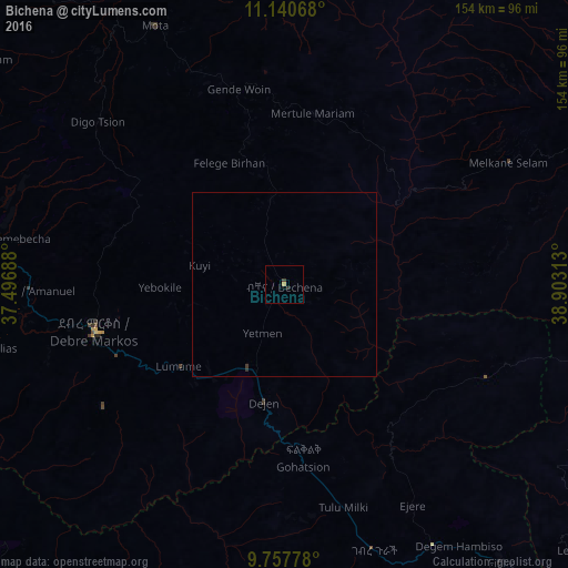
99.83%Clear (daylight) street map image can be seen on geolist.org.
Map coordinates:
11° 8' 26.4" North, 37° 29' 48.8" East
10° 27' 0" North, 38° 12' 0" East
9° 45' 28" North, 38° 54' 11.3" East
Some cities around Bichena sort by population:
• Debre Mark’os
52.2 km =32.4 mi,  257°
257°
• Fichē
92.9 km =57.7 mi,  141°
141°
• Finote Selam
105.7 km =65.7 mi,  285°
285°
• Addiet Canna
119.9 km =74.5 mi,  319°
319°
• Burē
127 km =78.9 mi,  282°
282°
• Gebre Guracha
75.5 km =46.9 mi,  163°
163°
• Dejen
32.3 km =20.1 mi,  193°
193°
• Debre Werk’
24.4 km =15.2 mi,  351°
351°
342190 (p: 16,411)
Sources (retrieved 2019-11-25):
» Earth at Night: Flat Maps 2012, 2016