Fichē night lights from space
Night Light of Fichē (Oromiya) from space (Ethiopia) Src. Average luminocity for 10x10km area is 0.2316% and for 50x50km: 0.0591%.
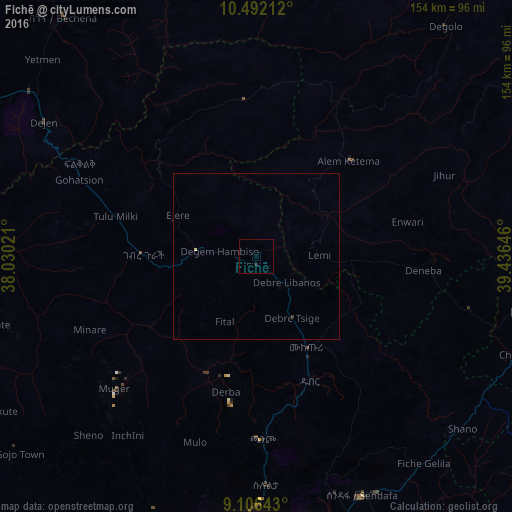
Analysis of Fichē night lights 2016
Square area 10x10 km:
 0%
0%90-99
0%80-89
0%70-79
0%60-69
0%50-59
0%40-49
0%30-39
0%20-29
0.87%10-19
0%0-9
99.13%Square area 50x50 km:
0%90-99
0%80-89
0.03%70-79
0%60-69
0%50-59
0%40-49
0%30-39
0.03%20-29
0.03%10-19
0%0-9
99.9%Clear (daylight) street map image can be seen on geolist.org.
Map coordinates:
10° 29' 31.6" North, 38° 1' 48.8" East
9° 48' 0" North, 38° 43' 60" East
9° 6' 23.1" North, 39° 26' 11.3" East
Some cities around Fichē sort by population:
• Addis Ababa
86.2 km =53.6 mi,  179°
179°
• Debre Birhan
88.6 km =55.1 mi,  98°
98°
• Genet
85.5 km =53.1 mi,  197°
197°
• Gebre Guracha
36.5 km =22.7 mi,  270°
270°
• Bichena
92.9 km =57.7 mi,  321°
321°
• Dejen
77.3 km =48 mi,  301°
301°
• Ādīs ‘Alem
92.8 km =57.7 mi, 203°
• Sendafa
78.8 km =49 mi,  156°
156°
337771 (p: 25,758)
Sources (retrieved 2019-11-25):
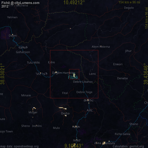
» Earth at Night: Flat Maps 2012, 2016