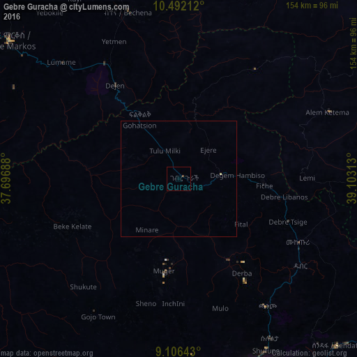
Gebre Guracha night lights from space
Night Light of Gebre Guracha (Oromiya) from space (Ethiopia) Src. Average luminocity for 10x10km area is 0.4372% and for 50x50km: 0.0489%.
Analysis of Gebre Guracha night lights 2016
Square area 10x10 km:
 0%
0%90-99
0%80-89
0%70-79
0%60-69
0%50-59
0%40-49
0.87%30-39
0%20-29
0%10-19
0%0-9
99.13%Square area 50x50 km:
0%90-99
0%80-89
0.03%70-79
0%60-69
0%50-59
0%40-49
0.03%30-39
0%20-29
0%10-19
0%0-9
99.93%Clear (daylight) street map image can be seen on geolist.org.
Map coordinates:
10° 29' 31.6" North, 37° 41' 48.8" East
9° 48' 0" North, 38° 24' 0" East
9° 6' 23.1" North, 39° 6' 11.3" East
Some cities around Gebre Guracha sort by population:
• Addis Ababa
94.2 km =58.5 mi,  156°
156°
• Debre Mark’os
95.2 km =59.2 mi,  309°
309°
• Fichē
36.5 km =22.7 mi,  90°
90°
• Genet
82.3 km =51.1 mi,  172°
172°
• Bichena
75.5 km =46.9 mi,  343°
343°
• Dejen
50.1 km =31.1 mi,  324°
324°
• Ādīs ‘Alem
85.2 km =52.9 mi,  180°
180°
• Sendafa
99.3 km =61.7 mi,  136°
136°
337152 (p: 16,583)
Sources (retrieved 2019-11-25):
» Earth at Night: Flat Maps 2012, 2016