Were Īlu night lights from space
Night Light of Were Īlu (Amhara) from space (Ethiopia) Src. Average luminocity for 10x10km area is 0% and for 50x50km: 0.0126%.
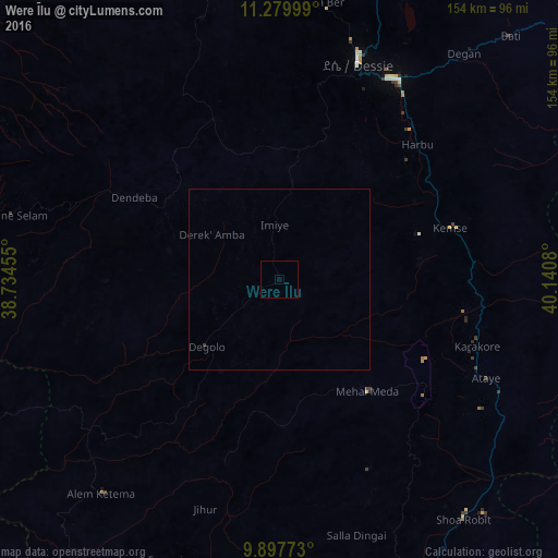
Analysis of Were Īlu night lights 2016
Square area 10x10 km:
 0%
0%90-99
0%80-89
0%70-79
0%60-69
0%50-59
0%40-49
0%30-39
0%20-29
0%10-19
0%0-9
100%Square area 50x50 km:
0%90-99
0%80-89
0%70-79
0%60-69
0%50-59
0%40-49
0%30-39
0.03%20-29
0%10-19
0%0-9
99.97%Clear (daylight) street map image can be seen on geolist.org.
Map coordinates:
11° 16' 48" North, 38° 44' 4.4" East
10° 35' 22.7" North, 39° 26' 15.6" East
9° 53' 51.8" North, 40° 8' 26.9" East
Some cities around Were Īlu sort by population:
• Desē
64.1 km =39.8 mi,  19°
19°
• Kombolcha
64.1 km =39.8 mi,  31°
31°
• Debre Birhan
101.7 km =63.2 mi,  174°
174°
• Fichē
116.8 km =72.6 mi,  221°
221°
• Kemisē
49.3 km =30.6 mi,  73°
73°
• Batī
92.1 km =57.2 mi,  43°
43°
• Abomsa
90 km =55.9 mi,  138°
138°
• Debre Sīna
89.7 km =55.7 mi,  156°
156°
326259 (p: 7,636)
Sources (retrieved 2019-11-25):
» Earth at Night: Flat Maps 2012, 2016