Ar Ruseris night lights from space
Night Light of Ar Ruseris (Blue Nile) from space (Sudan) Src. Average luminocity for 10x10km area is 10.4463% and for 50x50km: 1.2261%.
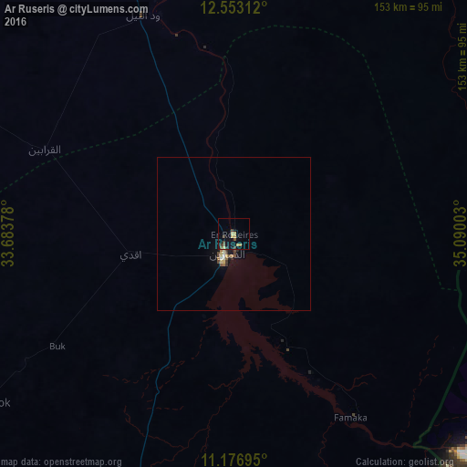
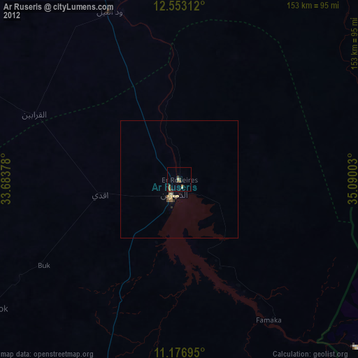
Analysis of Ar Ruseris night lights 2016
Square area 10x10 km:
 0%
0%90-99
0%80-89
2.27%70-79
3.51%60-69
0%50-59
1.86%40-49
2.27%30-39
3.31%20-29
0%10-19
7.23%0-9
79.55%Square area 50x50 km:
0%90-99
0.13%80-89
0.29%70-79
0.15%60-69
0.13%50-59
0.15%40-49
0.29%30-39
0.27%20-29
0.1%10-19
0.63%0-9
97.85%Clear (daylight) street map image can be seen on geolist.org.
Map coordinates:
12° 33' 11.2" North, 33° 41' 1.6" East
11° 51' 57.2" North, 34° 23' 12.8" East
11° 10' 37" North, 35° 5' 24.1" East
Some cities around Ar Ruseris sort by population:
• Singa
150.9 km =93.8 mi,  340°
340°
• Ad-Damazin
9.1 km =5.7 mi,  199°
199°
• As Sūkī
170.3 km =105.8 mi, 341°
• Al Ḩawātah
174.5 km =108.4 mi,  8°
8°
• Ad Dindar
150.3 km =93.4 mi,  350°
350°
• Kurmuk
146.7 km =91.2 mi,  184°
184°
• Jalqani
67.3 km =41.8 mi, 344°
• Renk, SS
172.7 km =107.3 mi,  265°
265°
378459 (p: 28,862)
Sources (retrieved 2019-11-25):
» Earth at Night: Flat Maps 2012, 2016