San Andrés del Rabanedo night lights from space
Night Light of San Andrés del Rabanedo (Castille and León) from space (Spain) Src. Average luminocity for 10x10km area is 60.1864% and for 50x50km: 9.4128%.
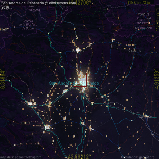
Analysis of San Andrés del Rabanedo night lights 2016
Square area 10x10 km:
 18.48%
90-99
19.24%80-89
6.67%70-79
5%60-69
3.79%50-59
4.39%40-49
2.27%30-39
7.58%20-29
10.15%10-19
18.33%0-9
4.09%Square area 50x50 km:
1.08%90-99
1.73%80-89
1.03%70-79
0.96%60-69
1.01%50-59
1.15%40-49
1.16%30-39
1.71%20-29
2.79%10-19
4.79%0-9
82.58%Clear (daylight) street map image can be seen on geolist.org.
Map coordinates:
43° 7' 37.4" North, 6° 19' 11.4" West
42° 36' 42.3" North, 5° 37' 0.2" West
42° 5' 31.6" North, 4° 54' 48.9" West
Some cities around San Andrés del Rabanedo sort by population:
• León
4 km =2.5 mi,  108°
108°
• Villaquilambre
6.2 km =3.9 mi,  50°
50°
• Pola de Lena
63.5 km =39.5 mi,  344°
344°
• Ruayer
49.4 km =30.7 mi,  6°
6°
• Astorga
39.8 km =24.7 mi,  244°
244°
• La Bañeza
41.6 km =25.8 mi,  213°
213°
• Bembibre
65.4 km =40.6 mi,  270°
270°
• Guardo
65.8 km =40.9 mi,  72°
72°
3110880 (p: 30,906)
Sources (retrieved 2019-11-25):
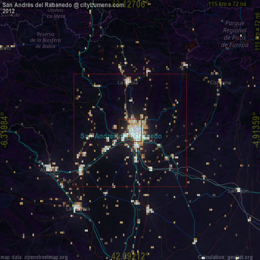
» Earth at Night: Flat Maps 2012, 2016