Ruayer night lights from space
Night Light of Ruayer (Asturias) from space (Spain) Src. Average luminocity for 10x10km area is 0.0492% and for 50x50km: 3.3072%.
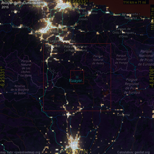
Analysis of Ruayer night lights 2016
Square area 10x10 km:
 0%
0%90-99
0%80-89
0%70-79
0%60-69
0%50-59
0%40-49
0%30-39
0%20-29
0%10-19
0%0-9
100%Square area 50x50 km:
0.2%90-99
0.46%80-89
0.29%70-79
0.37%60-69
0.37%50-59
0.56%40-49
0.31%30-39
0.75%20-29
0.92%10-19
2.94%0-9
92.83%Clear (daylight) street map image can be seen on geolist.org.
Map coordinates:
43° 33' 55.3" North, 6° 15' 11.9" West
43° 3' 13.4" North, 5° 33' 0.7" West
42° 32' 16" North, 4° 50' 49.4" West
Some cities around Ruayer sort by population:
• Oviedo
41.6 km =25.8 mi,  324°
324°
• Sama
29 km =18 mi,  338°
338°
• Mieres
28 km =17.4 mi, 321°
• Pola de Laviana
21.3 km =13.2 mi,  357°
357°
• Pola de Lena
25.6 km =15.9 mi,  297°
297°
• Pola de Siero
38.7 km =24 mi,  346°
346°
• Piloña
36.1 km =22.4 mi,  24°
24°
• El entrego
27 km =16.8 mi, 344°
3111704 (p: 12,766)
Sources (retrieved 2019-11-25):
» Earth at Night: Flat Maps 2012, 2016