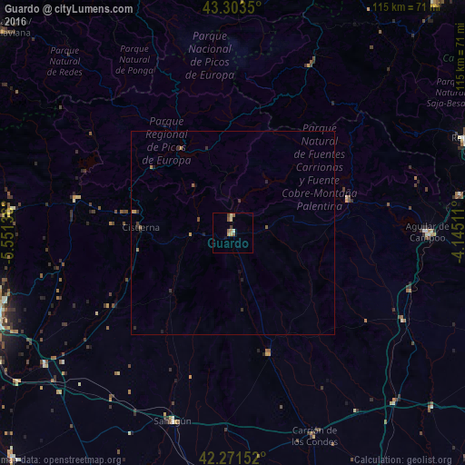
Guardo night lights from space
Night Light of Guardo (Castille and León) from space (Spain) Src. Average luminocity for 10x10km area is 5.8758% and for 50x50km: 0.5568%.
Analysis of Guardo night lights 2016
Square area 10x10 km:
 0%
0%90-99
0.61%80-89
1.82%70-79
0.61%60-69
0.61%50-59
2.42%40-49
0.61%30-39
0.61%20-29
0%10-19
0.61%0-9
92.12%Square area 50x50 km:
0%90-99
0.03%80-89
0.08%70-79
0.1%60-69
0.08%50-59
0.2%40-49
0.06%30-39
0.18%20-29
0.17%10-19
0.14%0-9
98.97%Clear (daylight) street map image can be seen on geolist.org.
Map coordinates:
43° 18' 12.6" North, 5° 33' 4.9" West
42° 47' 22.8" North, 4° 50' 53.6" West
42° 16' 17.5" North, 4° 8' 42.4" West
Some cities around Guardo sort by population:
• León
62.7 km =39 mi,  250°
250°
• San Andrés del Rabanedo
65.8 km =40.9 mi, 252°
• Villaquilambre
60.1 km =37.3 mi, 254°
• Ruayer
64.3 km =40 mi,  297°
297°
• Reinosa
62.4 km =38.8 mi,  68°
68°
• Aguilar de Campoo
48.1 km =29.9 mi,  89°
89°
• Cangas de Onís
66.5 km =41.3 mi,  339°
339°
• Parres
67 km =41.6 mi, 338°
3121029 (p: 7,920)
Sources (retrieved 2019-11-25):
» Earth at Night: Flat Maps 2012, 2016