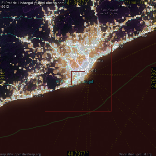
El Prat de Llobregat night lights from space
Night Light of El Prat de Llobregat (Catalonia) from space (Spain) Src. Average luminocity for 10x10km area is 88.0952% and for 50x50km: 35.2902%.


Analysis of El Prat de Llobregat night lights 2016
Square area 10x10 km:
 42.69%
90-99
27.38%80-89
2.72%70-79
10.37%60-69
5.95%50-59
5.61%40-49
1.19%30-39
1.19%20-29
2.55%10-19
0.34%0-9
0%Square area 50x50 km:
9.99%90-99
8.4%80-89
3.19%70-79
4.11%60-69
6.07%50-59
4.29%40-49
2.75%30-39
3.08%20-29
5.51%10-19
7.37%0-9
45.24%Clear (daylight) street map image can be seen on geolist.org.
Map coordinates:
41° 51' 13.4" North, 1° 23' 29.8" East
41° 19' 40.2" North, 2° 5' 41" East
40° 47' 51.7" North, 2° 47' 52.3" East
Some cities around El Prat de Llobregat sort by population:
• L'Hospitalet de Llobregat
3.6 km =2.2 mi,  7°
7°
• Cornellà de Llobregat
2.6 km =1.6 mi,  338°
338°
• Sant Boi de Llobregat
5.2 km =3.2 mi,  289°
289°
• Esplugues de Llobregat
5.5 km =3.4 mi,  354°
354°
• Sant Joan Despí
5.4 km =3.4 mi,  324°
324°
• la Marina de Port
5.2 km =3.2 mi,  46°
46°
• Sants - Badal
5.9 km =3.7 mi,  27°
27°
• la Maternitat i Sant Ramon
6.2 km =3.9 mi,  17°
17°
3123329 (p: 63,418)
Sources (retrieved 2019-11-25):
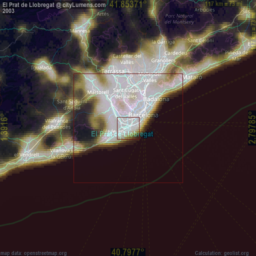
» NASA, Earths city lights 1995
» NASA city lights 2003
» Earth at Night: Flat Maps 2012, 2016