Sant Boi de Llobregat night lights from space
Night Light of Sant Boi de Llobregat (Catalonia) from space (Spain) Src. Average luminocity for 10x10km area is 85.9762% and for 50x50km: 39.6904%.
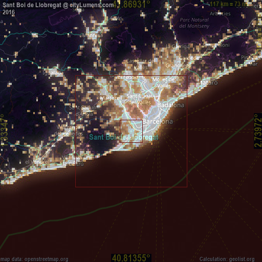
Analysis of Sant Boi de Llobregat night lights 2016
Square area 10x10 km:
 31.97%
90-99
25.85%80-89
4.25%70-79
16.16%60-69
13.95%50-59
6.29%40-49
1.19%30-39
0.34%20-29
0%10-19
0%0-9
0%Square area 50x50 km:
10.6%90-99
9.13%80-89
3.84%70-79
4.78%60-69
6.5%50-59
5.15%40-49
3.14%30-39
3.74%20-29
7.84%10-19
9.51%0-9
35.75%Clear (daylight) street map image can be seen on geolist.org.
Map coordinates:
41° 52' 9.5" North, 1° 20' 0.5" East
41° 20' 36.9" North, 2° 2' 11.7" East
40° 48' 48.8" North, 2° 44' 23" East
Some cities around Sant Boi de Llobregat sort by population:
• L'Hospitalet de Llobregat
5.6 km =3.5 mi,  71°
71°
• Cornellà de Llobregat
4 km =2.5 mi,  79°
79°
• Viladecans
3.8 km =2.4 mi,  209°
209°
• El Prat de Llobregat
5.2 km =3.2 mi,  109°
109°
• Esplugues de Llobregat
5.7 km =3.5 mi,  48°
48°
• Gavà
5.1 km =3.2 mi,  215°
215°
• la Maternitat i Sant Ramon
7.9 km =4.9 mi,  58°
58°
• Santa Coloma de Cervelló
3.2 km =2 mi,  324°
324°
3110834 (p: 82,428)
Sources (retrieved 2019-11-25):
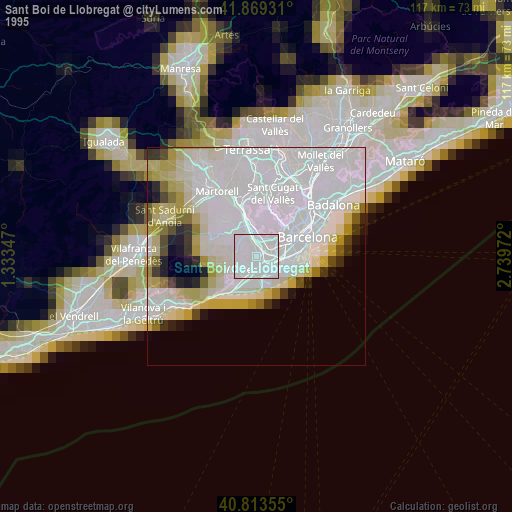
» NASA, Earths city lights 1995
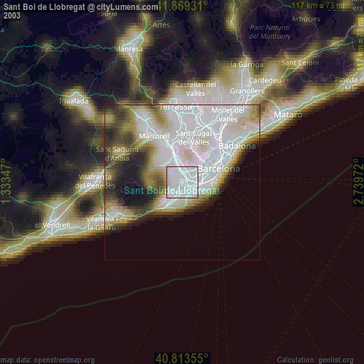
» NASA city lights 2003
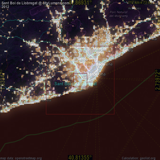
» Earth at Night: Flat Maps 2012, 2016