Sant Joan Despí night lights from space
Night Light of Sant Joan Despí (Catalonia) from space (Spain) Src. Average luminocity for 10x10km area is 89.8265% and for 50x50km: 41.6801%.
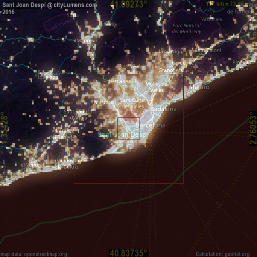
Analysis of Sant Joan Despí night lights 2016
Square area 10x10 km:
 38.27%
90-99
27.72%80-89
4.59%70-79
16.16%60-69
11.9%50-59
1.36%40-49
0%30-39
0%20-29
0%10-19
0%0-9
0%Square area 50x50 km:
11.07%90-99
9.68%80-89
4.08%70-79
5.01%60-69
6.96%50-59
5.5%40-49
3.32%30-39
3.77%20-29
8.11%10-19
9.35%0-9
33.15%Clear (daylight) street map image can be seen on geolist.org.
Map coordinates:
41° 53' 33.8" North, 1° 21' 15.4" East
41° 22' 1.8" North, 2° 3' 26.6" East
40° 50' 14.5" North, 2° 45' 37.9" East
Some cities around Sant Joan Despí sort by population:
• L'Hospitalet de Llobregat
3.7 km =2.3 mi,  103°
103°
• Cornellà de Llobregat
2.9 km =1.8 mi,  131°
131°
• El Prat de Llobregat
5.4 km =3.4 mi,  144°
144°
• Esplugues de Llobregat
2.8 km =1.7 mi,  66°
66°
• Sants - Badal
5.9 km =3.7 mi,  81°
81°
• la Maternitat i Sant Ramon
5.2 km =3.2 mi, 72°
• Pedralbes
5.1 km =3.2 mi,  59°
59°
• Santa Coloma de Cervelló
3.6 km =2.2 mi,  270°
270°
3110519 (p: 32,030)
Sources (retrieved 2019-11-25):
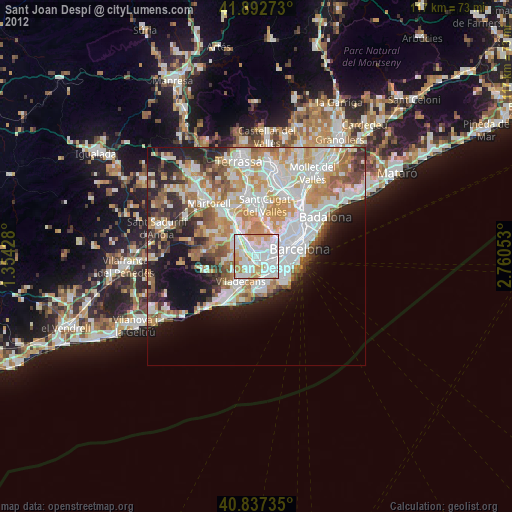
» Earth at Night: Flat Maps 2012, 2016