Cornellà de Llobregat night lights from space
Night Light of Cornellà de Llobregat (Catalonia) from space (Spain) Src. Average luminocity for 10x10km area is 94.5357% and for 50x50km: 38.8245%.
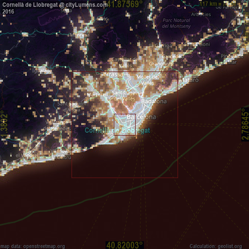
Analysis of Cornellà de Llobregat night lights 2016
Square area 10x10 km:
 49.32%
90-99
31.97%80-89
3.4%70-79
11.05%60-69
4.25%50-59
0%40-49
0%30-39
0%20-29
0%10-19
0%0-9
0%Square area 50x50 km:
10.82%90-99
9.2%80-89
3.61%70-79
4.69%60-69
6.54%50-59
4.73%40-49
2.95%30-39
3.45%20-29
6.77%10-19
7.92%0-9
39.33%Clear (daylight) street map image can be seen on geolist.org.
Map coordinates:
41° 52' 32.5" North, 1° 22' 48.7" East
41° 21' 0" North, 2° 4' 60" East
40° 49' 12.1" North, 2° 47' 11.2" East
Some cities around Cornellà de Llobregat sort by population:
• L'Hospitalet de Llobregat
1.8 km =1.1 mi,  52°
52°
• Sant Boi de Llobregat
4 km =2.5 mi,  259°
259°
• El Prat de Llobregat
2.6 km =1.6 mi,  158°
158°
• Esplugues de Llobregat
3.1 km =1.9 mi,  7°
7°
• Sant Joan Despí
2.9 km =1.8 mi,  311°
311°
• Sants - Badal
4.6 km =2.9 mi, 53°
• la Maternitat i Sant Ramon
4.5 km =2.8 mi,  39°
39°
• Sant Just Desvern
4 km =2.5 mi,  340°
340°
3124569 (p: 86,519)
Sources (retrieved 2019-11-25):
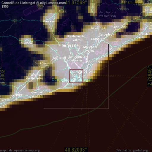
» NASA, Earths city lights 1995
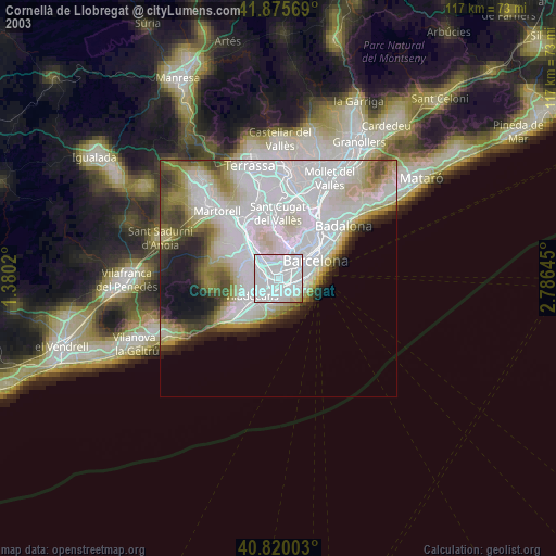
» NASA city lights 2003
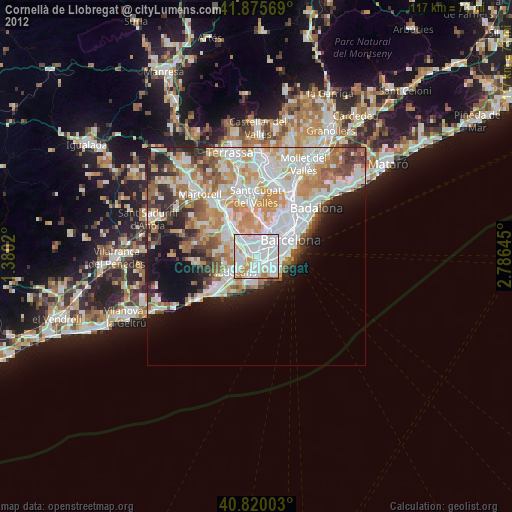
» Earth at Night: Flat Maps 2012, 2016