Sants - Badal night lights from space
Night Light of Sants - Badal (Catalonia) from space (Spain) Src. Average luminocity for 10x10km area is 95.0323% and for 50x50km: 40.5062%.
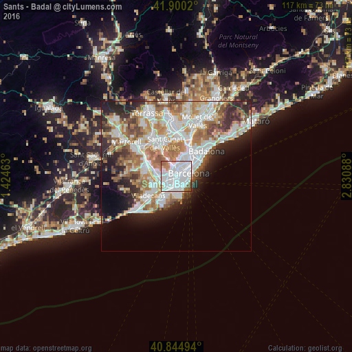
Analysis of Sants - Badal night lights 2016
Square area 10x10 km:
 59.18%
90-99
27.38%80-89
1.53%70-79
3.91%60-69
3.23%50-59
4.42%40-49
0.34%30-39
0%20-29
0%10-19
0%0-9
0%Square area 50x50 km:
11.18%90-99
9.74%80-89
3.84%70-79
4.82%60-69
6.95%50-59
5.17%40-49
3.2%30-39
3.61%20-29
6.83%10-19
6.78%0-9
37.9%Clear (daylight) street map image can be seen on geolist.org.
Map coordinates:
41° 54' 0.7" North, 1° 25' 28.7" East
41° 22' 29" North, 2° 7' 39.9" East
40° 50' 41.8" North, 2° 49' 51.2" East
Some cities around Sants - Badal sort by population:
• Les Corts
1.4 km =0.9 mi,  7°
7°
• la Nova Esquerra de l'Eixample
2 km =1.2 mi,  62°
62°
• Barri de les Corts
1.5 km =0.9 mi,  23°
23°
• la Marina de Port
1.9 km =1.2 mi,  148°
148°
• la Maternitat i Sant Ramon
1.1 km =0.7 mi,  310°
310°
• La Bordeta
1.3 km =0.8 mi,  93°
93°
• Hostafrancs
1.3 km =0.8 mi,  79°
79°
• la Font de la Guatlla
1.5 km =0.9 mi,  111°
111°
11549787 (p: 24,344)
Sources (retrieved 2019-11-25):
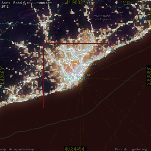
» Earth at Night: Flat Maps 2012, 2016