Amés night lights from space
Night Light of Amés (Galicia) from space (Spain) Src. Average luminocity for 10x10km area is 21.0349% and for 50x50km: 10.6447%.
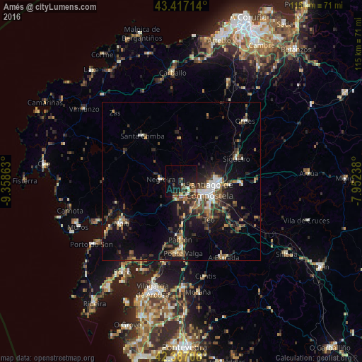
Analysis of Amés night lights 2016
Square area 10x10 km:
 0.48%
0.48%90-99
4.13%80-89
2.06%70-79
2.7%60-69
2.38%50-59
2.38%40-49
4.29%30-39
4.44%20-29
7.3%10-19
20.16%0-9
49.68%Square area 50x50 km:
0.98%90-99
1.53%80-89
0.65%70-79
0.97%60-69
1.41%50-59
1.77%40-49
2.05%30-39
2.41%20-29
3.66%10-19
8.84%0-9
75.73%Clear (daylight) street map image can be seen on geolist.org.
Map coordinates:
43° 25' 1.7" North, 9° 21' 31.1" West
42° 54' 15.3" North, 8° 39' 19.8" West
42° 23' 13.5" North, 7° 57' 8.6" West
Some cities around Amés sort by population:
• Santiago de Compostela
9.3 km =5.8 mi,  106°
106°
• Teo
21.3 km =13.2 mi,  143°
143°
• Santa Comba
19 km =11.8 mi,  318°
318°
• Padrón
18.4 km =11.4 mi,  181°
181°
• Outes
20.6 km =12.8 mi,  256°
256°
• Negreira
7.1 km =4.4 mi,  269°
269°
• Oroso
20.1 km =12.5 mi,  64°
64°
• Vedra
20.2 km =12.6 mi,  133°
133°
3130155 (p: 26,983)
Sources (retrieved 2019-11-25):
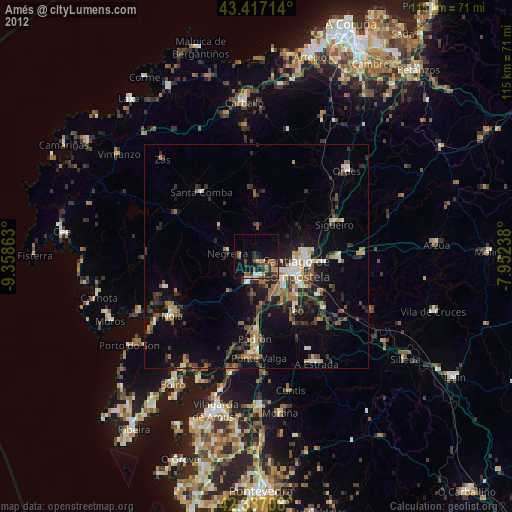
» Earth at Night: Flat Maps 2012, 2016