Santiago de Compostela night lights from space
Night Light of Santiago de Compostela (Galicia) from space (Spain) Src. Average luminocity for 10x10km area is 61.4032% and for 50x50km: 10.1738%.
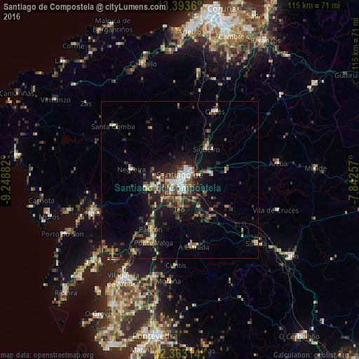
Analysis of Santiago de Compostela night lights 2016
Square area 10x10 km:
 17.78%
90-99
15.56%80-89
2.22%70-79
2.86%60-69
8.57%50-59
10.48%40-49
12.38%30-39
9.05%20-29
14.76%10-19
6.35%0-9
0%Square area 50x50 km:
0.93%90-99
1.45%80-89
0.68%70-79
1.01%60-69
1.35%50-59
1.63%40-49
1.94%30-39
2.36%20-29
3.5%10-19
8.65%0-9
76.5%Clear (daylight) street map image can be seen on geolist.org.
Map coordinates:
43° 23' 37" North, 9° 14' 55.8" West
42° 52' 49.9" North, 8° 32' 44.5" West
42° 21' 47.3" North, 7° 50' 33.3" West
Some cities around Santiago de Compostela sort by population:
• Ribeira
17.1 km =10.6 mi,  150°
150°
• Amés
9.3 km =5.8 mi,  286°
286°
• Teo
15 km =9.3 mi,  165°
165°
• Padrón
18.3 km =11.4 mi,  210°
210°
• Negreira
16.3 km =10.1 mi,  279°
279°
• Oroso
14.6 km =9.1 mi,  38°
38°
• Valga
21.7 km =13.5 mi,  200°
200°
• Vedra
12.7 km =7.9 mi, 153°
3109642 (p: 95,092)
Sources (retrieved 2019-11-25):
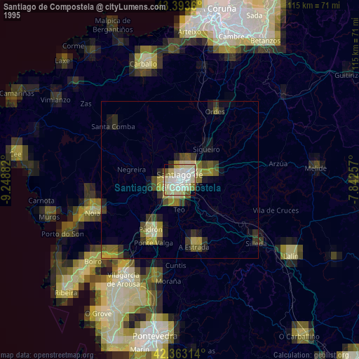
» NASA, Earths city lights 1995
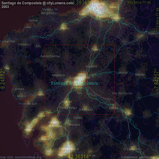
» NASA city lights 2003
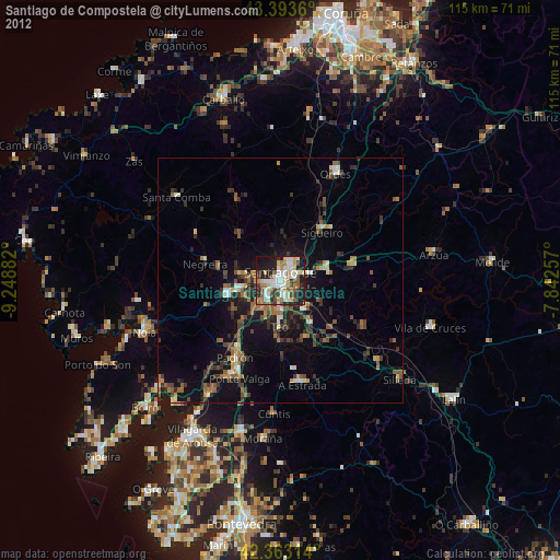
» Earth at Night: Flat Maps 2012, 2016