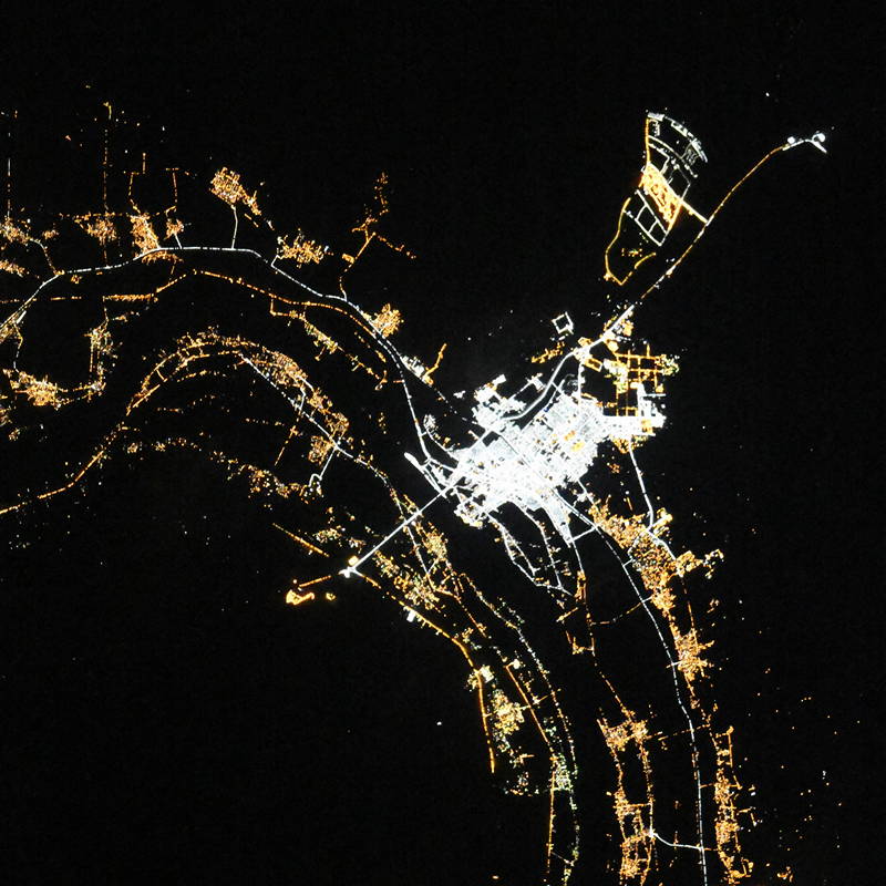
QinДЃ night lights from space
Night Light of QinДЃ (Qena) from space (Egypt) Src. Average luminocity for 10x10km area is 82.3433% and for 50x50km: 22.3073%.

Analysis of QinДЃ night lights 2016
Square area 10x10 km:
 25.99%
90-99
27.58%80-89
10.91%70-79
8.53%60-69
7.94%50-59
6.35%40-49
8.73%30-39
3.17%20-29
0.79%10-19
0%0-9
0%Square area 50x50 km:
3.96%90-99
4.32%80-89
2.1%70-79
3.2%60-69
4.6%50-59
2.75%40-49
3.47%30-39
2.87%20-29
5.12%10-19
7.8%0-9
59.82%Clear (daylight) street map image can be seen on geolist.org.
Map coordinates:
26° 47' 36.7" North, 32° 1' 24.9" East
26° 9' 51" North, 32° 43' 36.2" East
25° 31' 53" North, 33° 25' 47.4" East
Fantastic image of QinДЃ from space taken by astronauts [src2], but I don't have information about it's orientation, scale or angle. If necessary, it was rotated manually, so North points approximately to upper direction. Click to zoom in:
Some cities around QinДЃ sort by population:
• Luxor
52.4 km =32.6 mi,  189°
189°
• JirjДЃ
85.5 km =53.1 mi,  283°
283°
• IsnДЃ
98.4 km =61.1 mi, 190°
• Kousa
27.9 km =17.3 mi,  172°
172°
• DishnДЃ
25.4 km =15.8 mi,  260°
260°
• FarshЕ«ЕЈ
57.5 km =35.7 mi, 257°
• Al BalyanДЃ
72.6 km =45.1 mi, 276°
• Naja' бё¤ammДЃdД«
50.1 km =31.1 mi, 255°
350550 (p: 235,362)
Sources (retrieved 2019-11-25):
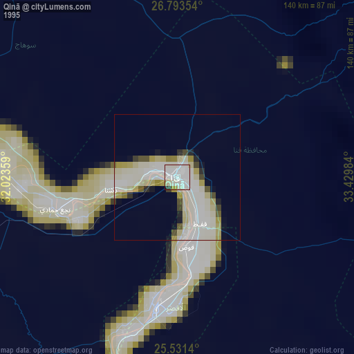
» NASA, Earths city lights 1995
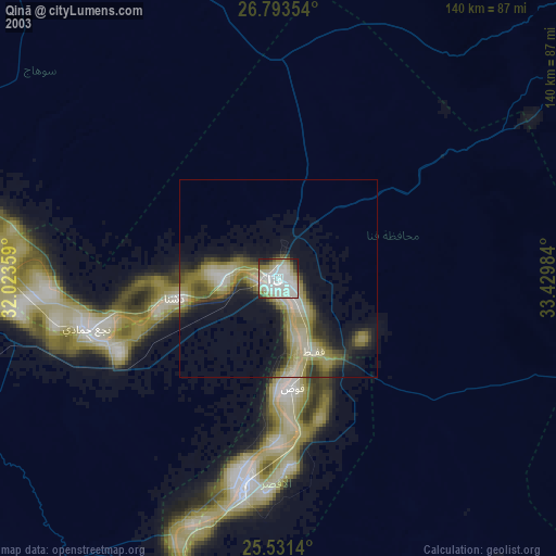
» NASA city lights 2003
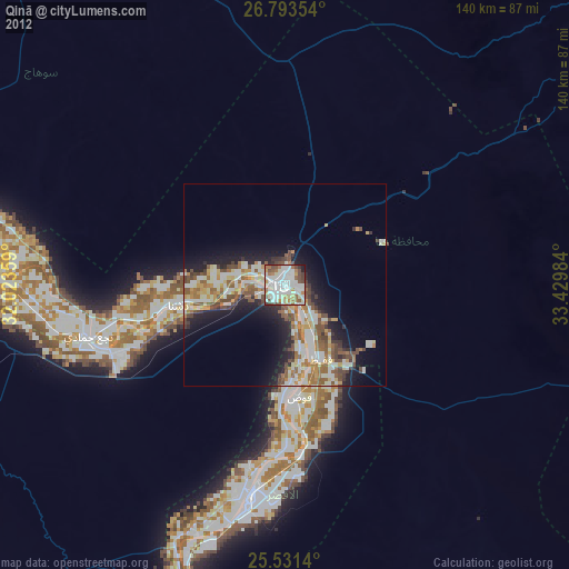
» Earth at Night: Flat Maps 2012, 2016
Src.2: picture by Oleg Kononenko, Roscosmos, retrieved 2019-11-29