Luxor night lights from space
Night Light of Luxor from space (Egypt) Src. Average luminocity for 10x10km area is 92.2197% and for 50x50km: 27.5562%.
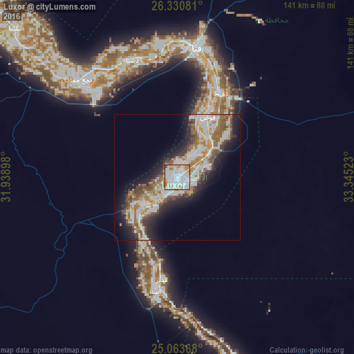
Analysis of Luxor night lights 2016
Square area 10x10 km:
 36.17%
90-99
39.58%80-89
4.55%70-79
13.07%60-69
4.36%50-59
0.57%40-49
1.52%30-39
0.19%20-29
0%10-19
0%0-9
0%Square area 50x50 km:
6.1%90-99
7.44%80-89
1.8%70-79
3.66%60-69
4.08%50-59
3.36%40-49
3.43%30-39
2.56%20-29
5.54%10-19
9.03%0-9
53%Clear (daylight) street map image can be seen on geolist.org.
Map coordinates:
26° 19' 50.9" North, 31° 56' 20.3" East
25° 41' 56.1" North, 32° 38' 31.6" East
25° 3' 49.2" North, 33° 20' 42.8" East
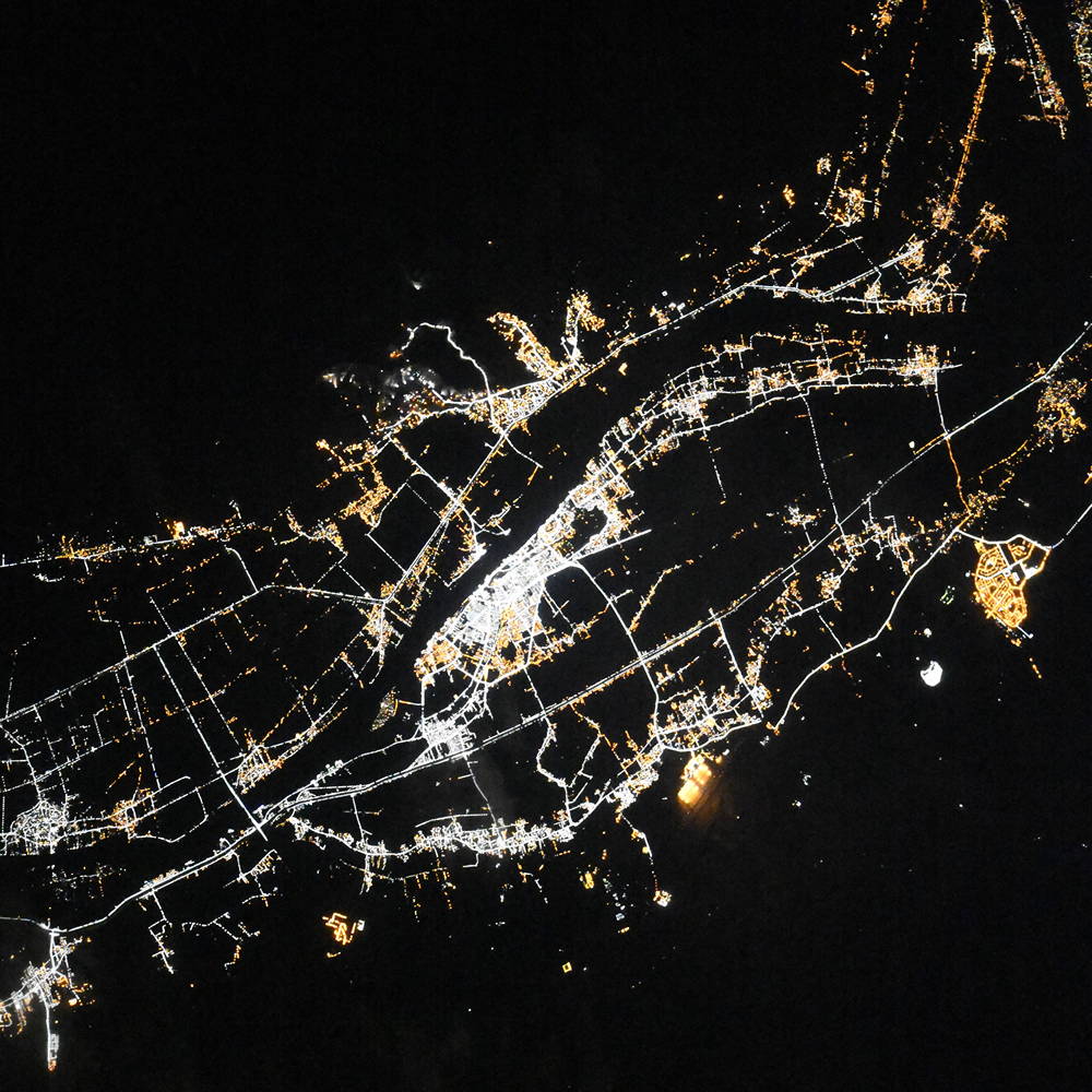
Fantastic image of Luxor from space taken by astronauts [src2], but I don't have information about it's orientation, scale or angle. If necessary, it was rotated manually, so North points approximately to upper direction. Click to zoom in:
Some cities around Luxor sort by population:
• QinÄ
52.4 km =32.6 mi,  9°
9°
• IdfĹŤ
83.4 km =51.8 mi,  163°
163°
• IsnÄ
46 km =28.6 mi,  191°
191°
• Kousa
26.9 km =16.7 mi,  26°
26°
• DishnÄ
50.2 km =31.2 mi,  340°
340°
• FarshĹŤĹŁ
62.1 km =38.6 mi,  309°
309°
• Al BalyanÄ
87.4 km =54.3 mi, 313°
• Naja' ḤammÄdÄŤ
55.9 km =34.7 mi, 314°
360502 (p: 422,407)
Sources (retrieved 2019-11-25):
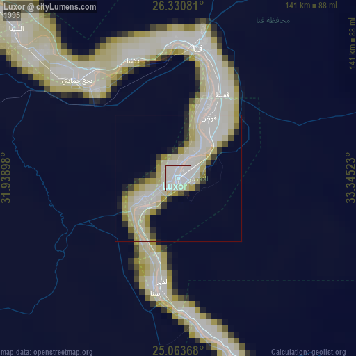
» NASA, Earths city lights 1995
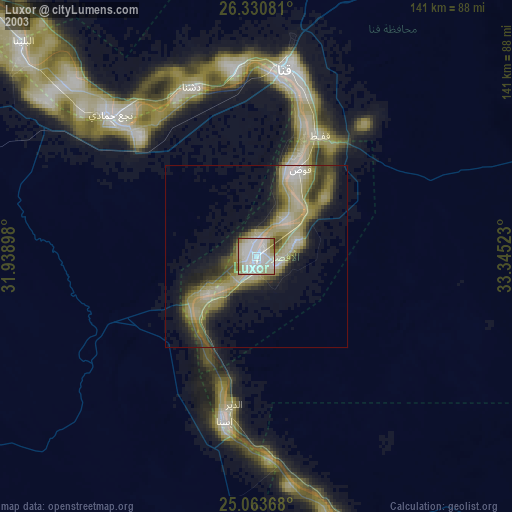
» NASA city lights 2003
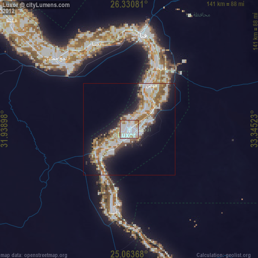
» Earth at Night: Flat Maps 2012, 2016
Src.2: picture by Oleg Kononenko, Roscosmos, retrieved 2019-11-29