Kousa night lights from space
Night Light of Kousa (Qena) from space (Egypt) Src. Average luminocity for 10x10km area is 86.9337% and for 50x50km: 28.4796%.
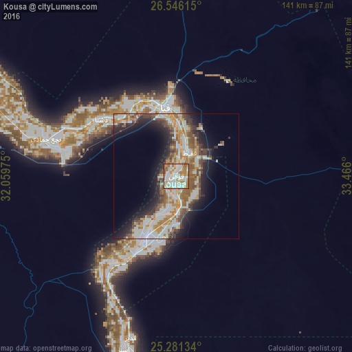
Analysis of Kousa night lights 2016
Square area 10x10 km:
 29.17%
90-99
28.03%80-89
6.63%70-79
17.42%60-69
16.1%50-59
2.27%40-49
0.19%30-39
0.19%20-29
0%10-19
0%0-9
0%Square area 50x50 km:
5.63%90-99
6.57%80-89
2.42%70-79
4.1%60-69
5.09%50-59
3.65%40-49
3.81%30-39
3.09%20-29
5.98%10-19
9.12%0-9
50.52%Clear (daylight) street map image can be seen on geolist.org.
Map coordinates:
26° 32' 46.1" North, 32° 3' 35.1" East
25° 54' 55.6" North, 32° 45' 46.3" East
25° 16' 52.8" North, 33° 27' 57.6" East
Some cities around Kousa sort by population:
• Luxor
26.9 km =16.7 mi,  206°
206°
• Qinā
27.9 km =17.3 mi,  352°
352°
• Jirjā
98.9 km =61.5 mi,  298°
298°
• Isnā
72.3 km =44.9 mi,  196°
196°
• Dishnā
36.9 km =22.9 mi,  309°
309°
• Farshūţ
61.9 km =38.5 mi,  284°
284°
• Al Balyanā
83.8 km =52.1 mi, 295°
• Naja' Ḥammādī
54.2 km =33.7 mi,  285°
285°
350422 (p: 60,181)
Sources (retrieved 2019-11-25):
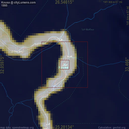
» NASA, Earths city lights 1995
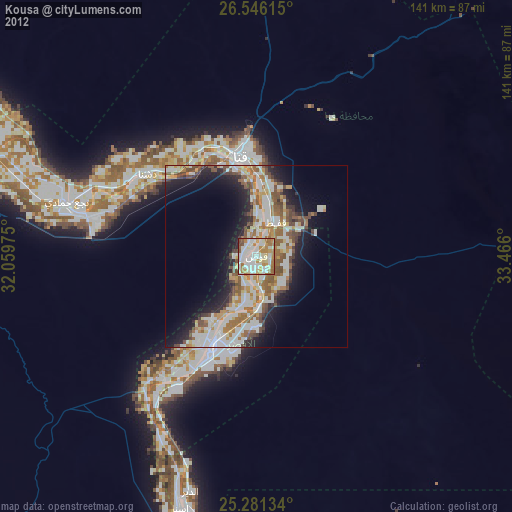
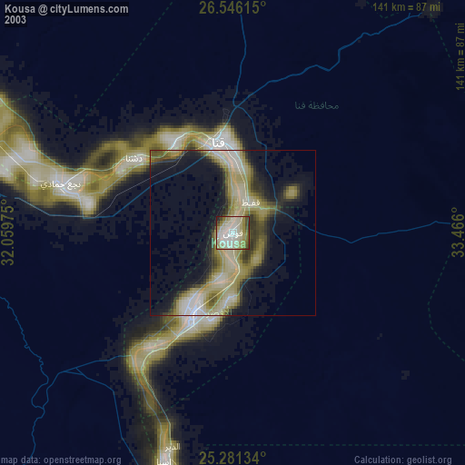
» NASA city lights 2003
» Earth at Night: Flat Maps 2012, 2016