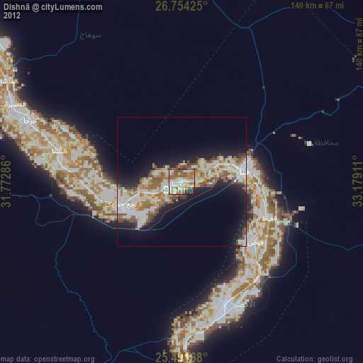
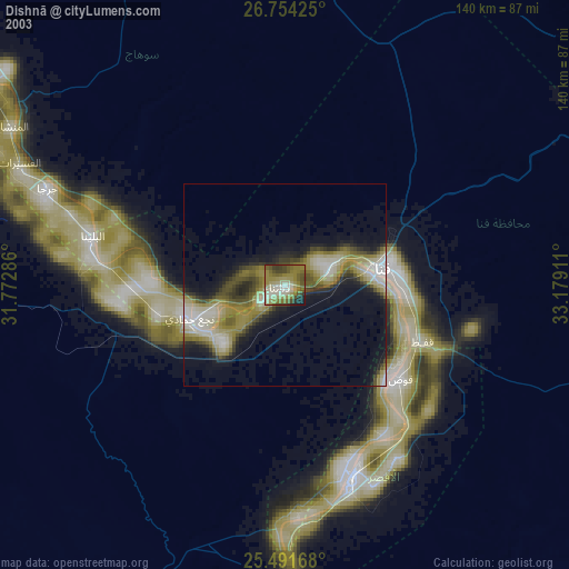
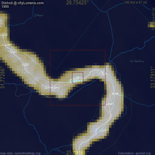
Dishnā night lights from space
Night Light of Dishnā (Qena) from space (Egypt) Src. Average luminocity for 10x10km area is 76.869% and for 50x50km: 25.3092%.

Analysis of Dishnā night lights 2016
Square area 10x10 km:
 18.25%
90-99
20.44%80-89
6.94%70-79
13.69%60-69
18.06%50-59
13.49%40-49
5.56%30-39
2.38%20-29
1.19%10-19
0%0-9
0%Square area 50x50 km:
5.12%90-99
5.69%80-89
1.79%70-79
3.43%60-69
4.38%50-59
3.78%40-49
3.35%30-39
2.65%20-29
5.69%10-19
9.72%0-9
54.42%Clear (daylight) street map image can be seen on geolist.org.
Map coordinates:
26° 45' 15.3" North, 31° 46' 22.3" East
26° 7' 28.8" North, 32° 28' 33.5" East
25° 29' 30" North, 33° 10' 44.8" East
Some cities around Dishnā sort by population:
• Luxor
50.2 km =31.2 mi,  160°
160°
• Qinā
25.4 km =15.8 mi,  80°
80°
• Jirjā
62.9 km =39.1 mi,  292°
292°
• Al Manshāh
77.6 km =48.2 mi,  300°
300°
• Kousa
36.9 km =22.9 mi,  129°
129°
• Farshūţ
32.2 km =20 mi,  256°
256°
• Al Balyanā
48.7 km =30.3 mi,  284°
284°
• Naja' Ḥammādī
24.9 km =15.5 mi,  250°
250°
358115 (p: 54,197)
Sources (retrieved 2019-11-25):
» NASA, Earths city lights 1995
» NASA city lights 2003
» Earth at Night: Flat Maps 2012, 2016