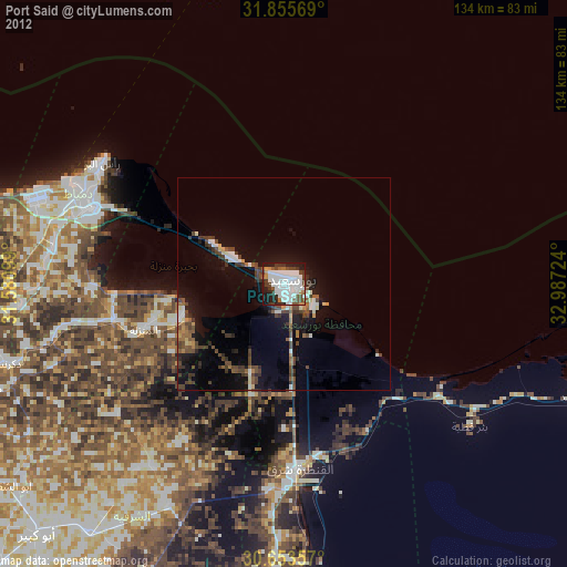
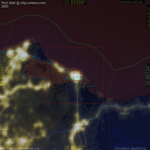
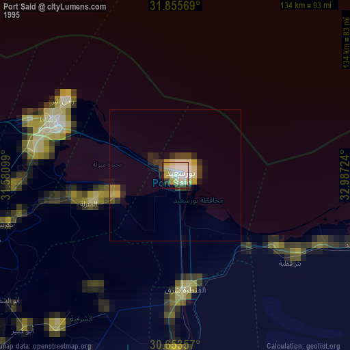
Port Said night lights from space
Night Light of Port Said from space (Egypt) Src. Average luminocity for 10x10km area is 64.8132% and for 50x50km: 10.0793%.
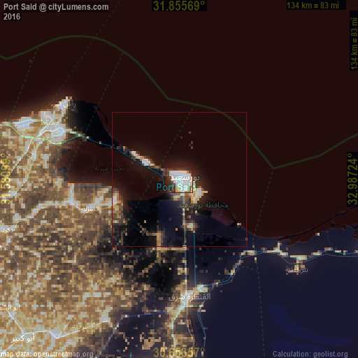
Analysis of Port Said night lights 2016
Square area 10x10 km:
 23.81%
90-99
20.15%80-89
7.14%70-79
0.92%60-69
1.1%50-59
2.93%40-49
3.85%30-39
14.47%20-29
17.4%10-19
8.24%0-9
0%Square area 50x50 km:
1.41%90-99
1.48%80-89
1.29%70-79
0.63%60-69
0.88%50-59
0.9%40-49
1.35%30-39
2.98%20-29
3.41%10-19
8.56%0-9
77.12%Clear (daylight) street map image can be seen on geolist.org.
Map coordinates:
31° 51' 20.5" North, 31° 34' 51.6" East
31° 15' 55.1" North, 32° 18' 6.8" East
30° 39' 12.9" North, 32° 59' 14.1" East
Some cities around Port Said sort by population:
• Al Maţarīyah
27.3 km =17 mi,  250°
250°
• Damietta
49.3 km =30.6 mi,  289°
289°
• Al Jammālīyah
42.6 km =26.5 mi,  257°
257°
• Al Manzalah
36.8 km =22.9 mi, 251°
• Fāraskūr
56.2 km =34.9 mi,  277°
277°
• Minyat an Naşr
64.5 km =40.1 mi, 256°
• Az Zarqā
63.7 km =39.6 mi, 264°
• ‘Izbat al Burj
51.4 km =31.9 mi,  301°
301°
358619 (p: 538,378)
Sources (retrieved 2019-11-25):
» NASA, Earths city lights 1995
» NASA city lights 2003
» Earth at Night: Flat Maps 2012, 2016